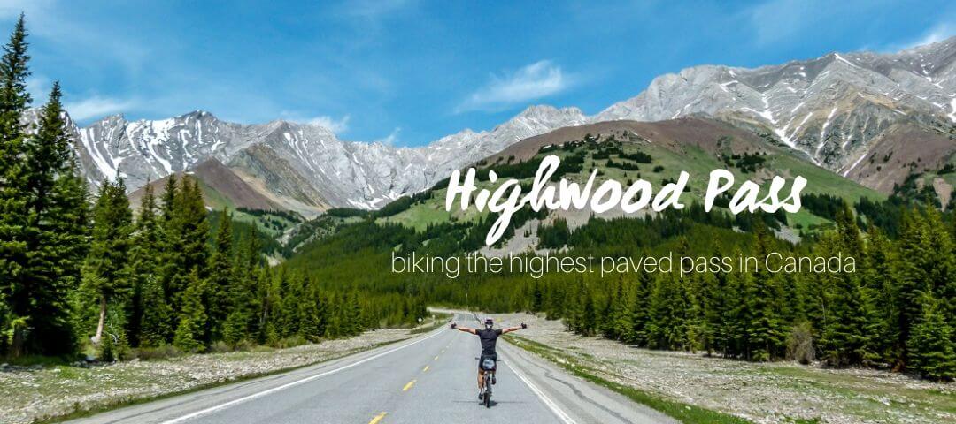
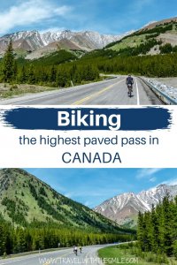
Biking the Highwood Pass with endless mountain views and no cars allowed on the road is a yearly treat for cyclists. Let me tell you more about biking the highest paved pass in Canada.
The first time we’ve heard about Highwood Pass was from our friend, who was on a biking trip around the world. He biked through the Highwood Pass at the end of May but had to walk through the actual pass due to too much snow.
I quickly jumped on the internet and found out that the road is opened for cyclists only, no cars allowed until June 15. Great timing!
It’s a rare situation, and many cyclists took advantage of it.
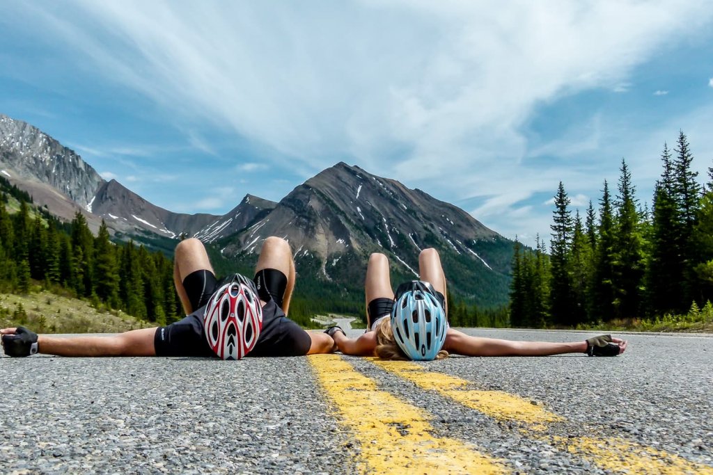
We usually prefer biking in the mountains on dirt roads, but after so many times being almost pushed off the road, biking the highest paved pass in Canada without cars seemed like an excellent idea.
From June 15th, cars are allowed on the road, so there is a gap of only a few weeks a year when you can do this ride without traffic (although you can bike in summer on the side of the road as well).
Table of Contents
How to get to Highwood Pass
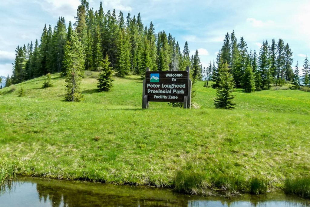
Highwood Pass is located in Kananaskis Country, Alberta, only 140 km southwest from Calgary. It belongs to Peter Lougheed Provincial Park, and it’s directly on Highway #40.
The pass can be accessed from the north side at King Creek or from the south from Longview.
We decided to start from King Creek (it’s shorter and more challenging) in Peter Lougheed Provincial Park.
The spot where we started our ride is shown below:
Biking the Highwood Pass
Our summary
- Distance: 60 km round-trip
- Elevation gain: 1,043 m
- Maximum elevation: 2,206 m
- Difficulty: moderate
- Best time to go: before June 15 (without cars) or during summer (with traffic)
- Extra gear: tire repair kit, windproof jacket, water, snacks, bear spray
Summary of Highwood Pass climb
Highwood Pass North Climb
– 17 km distance
– 3% average grade
– 1,678 m lowest elevation
– 2,206 m highest elevation
Highwood Pass South Climb
– 37,5 km distance
– 2% average grade
– 1,543 m lowest elevation
– 2,206 m highest elevation

When we arrived at the gate, there were already plenty of cars parking along the road and cyclists preparing for the ride.
Starting at elevation 1678 m, the road begins to ascend very slowly.
Distance from the gate to the top is 17 km. I would rate the climb as moderate with an average grade of 2% but with sections 10% to 14%. One part of the road is considered Category 1, which is the steepest grade for cyclists on the Tour de France.
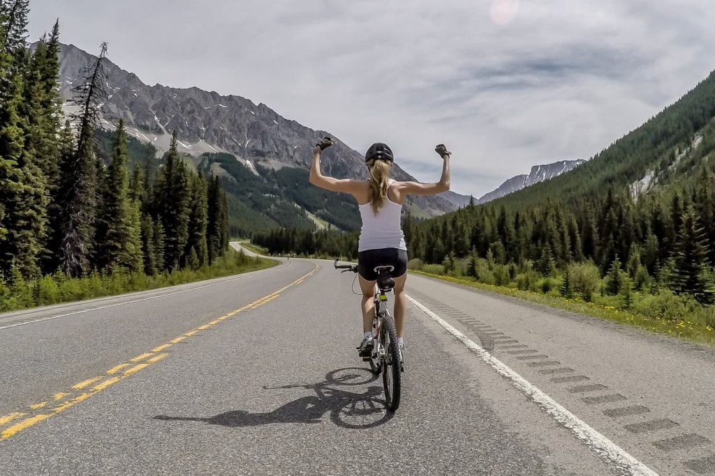

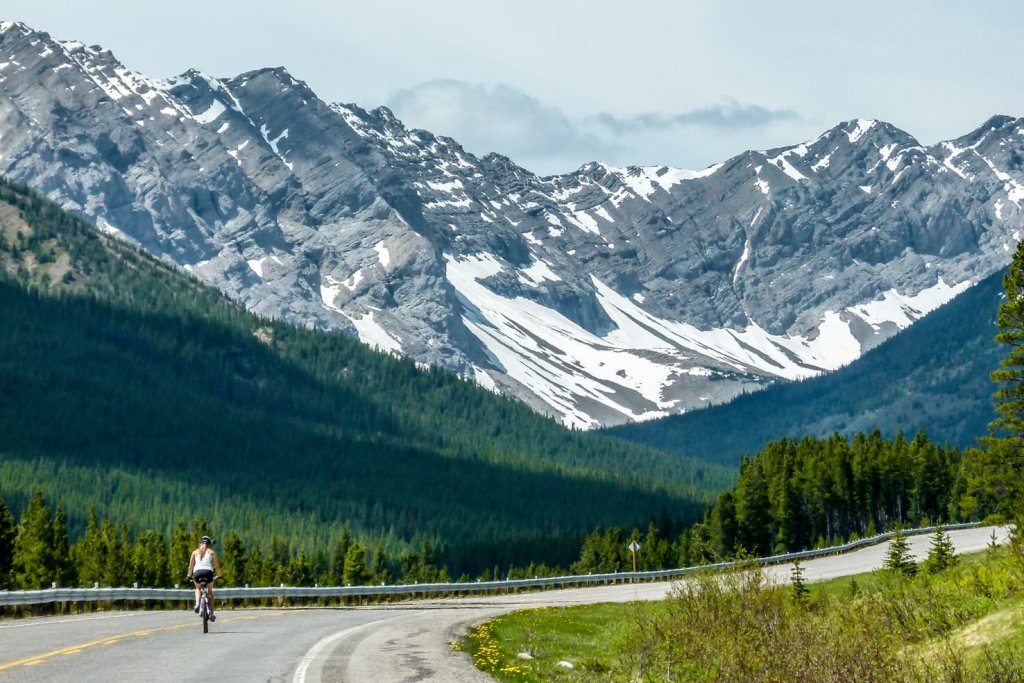
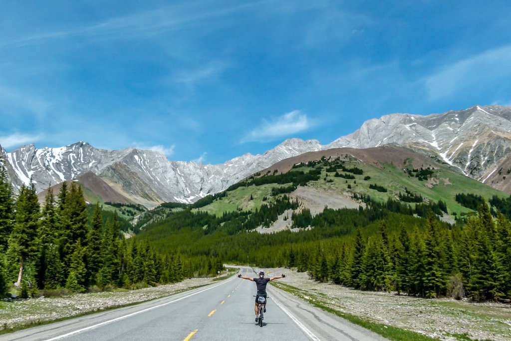
With the beautiful scenery around us, we haven’t even noticed how long or how far we’ve already biked.
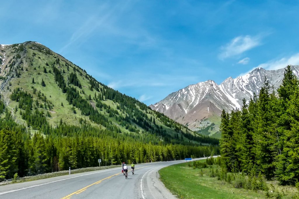
Once we reached the pass, we were treated with a gentle cold breeze during a hot day. We had a little break eating granola bars and headed down the other side. After 14 km of cooling off during the downhill, we turned around for another uphill ride.


NOTE
Road cyclists do this ride as an out-and-back. They start at King Creek, climb 17 km up to the Highwood Pass, and then down the other side to Longview, another 37 km. That’s 54 km one-way that you would need to bike back to your car, making it 108 km ride (unfortunately, there’s no way to make a loop as you can see from the map above when you zoom in).
The climb from the other side was equally spectacular. We felt more energized than before and enjoyed the scenery around us.
It seems the climb from the north side is more popular. We hardly saw any cyclists climbing up from the south.

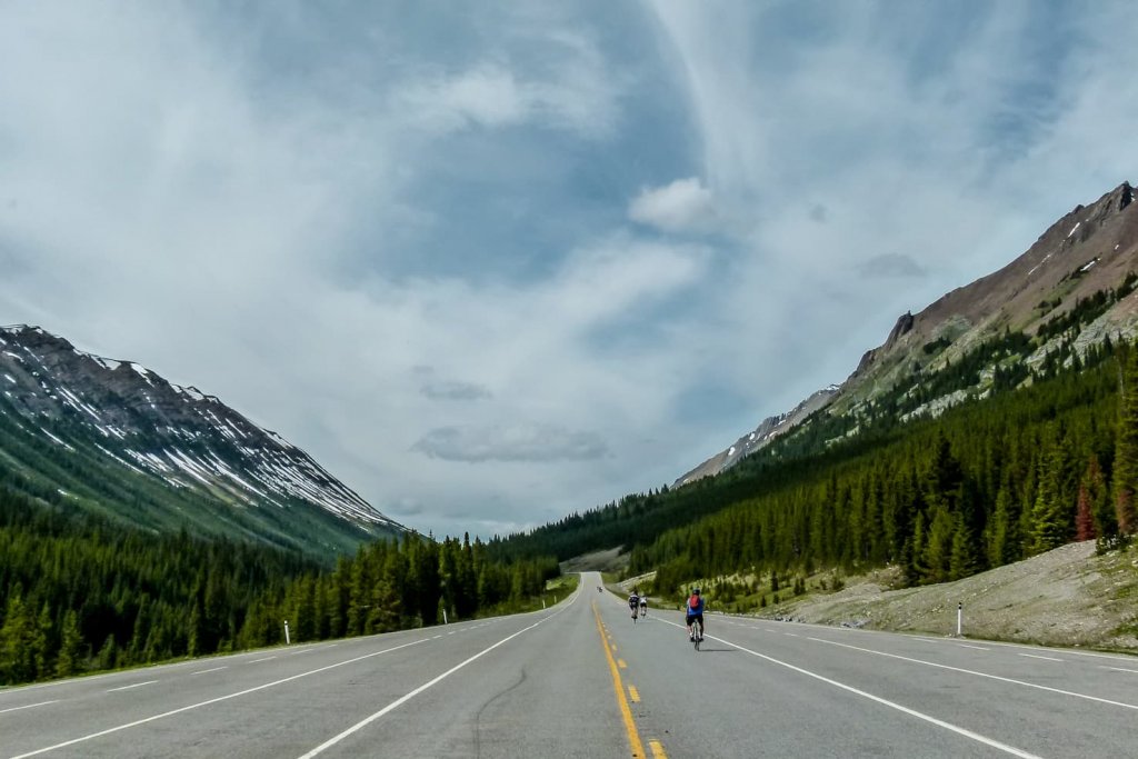
Once we reached the Highwood Pass from the other side, we had a short water break on top and hooray to enjoy another downhill to the starting point.
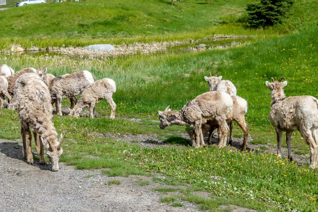
I must admit, having the road to yourself is a real treat. You can do whatever you want without always turning around looking for passing cars. And seeing mountain goats and other wildlife during the day is a cherry on top of an already fantastic day.
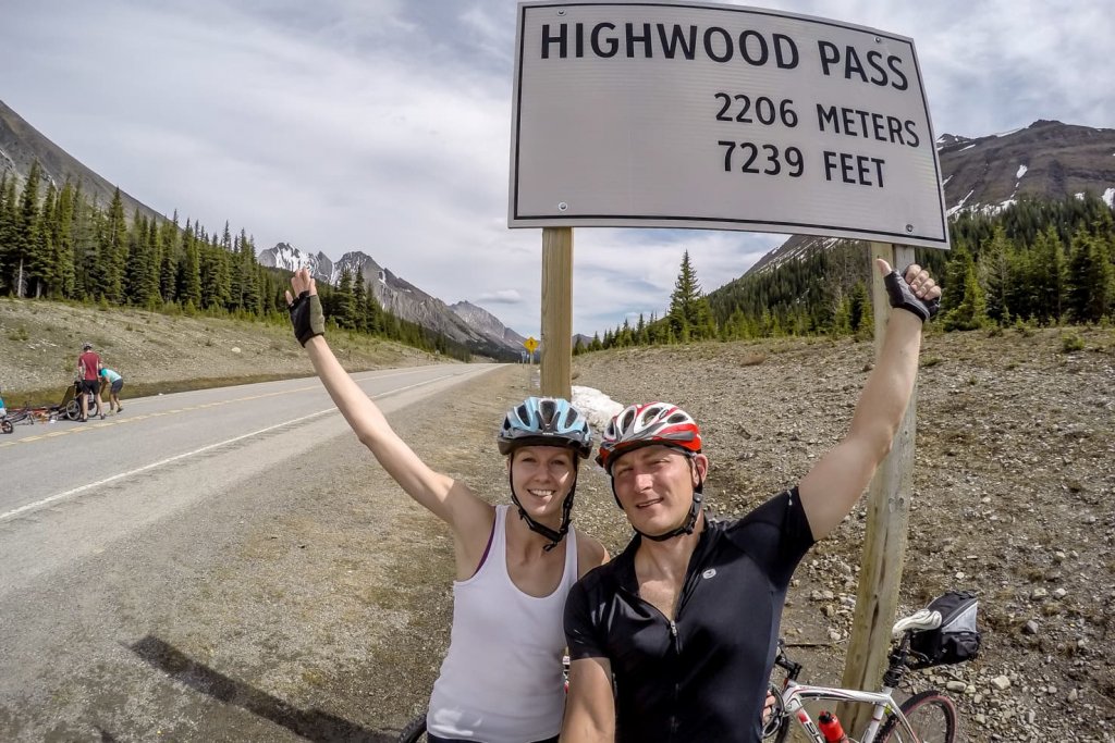
Biking the Highwood Pass is an excellent trip for people who like to go to the mountains but don’t feel like hiking (which was our case exactly). It’s also an excellent training before the short biking season in the Canadian Rockies.

Know before you go
Information
- Nearby Peter Lougheed Park Information Centre is closed during summer and operating only seasonally, more info here.
- Map of Peter Lougheed Provincial Park (including hiking & biking tri ideas) can be downloaded here.
Staying at Highwood Pass in Peter Lougheed Park
To have the most freedom and enjoy nature to the fullest while staying on a budget, we always recommend staying in the campgrounds.
The closest ones are:
- Canyon Creek Campground (first come first served)
- Elkwood Campground
- Kananaskis Country Campgrounds
- Boulton Creek Campground
- Mount Sarrail Campground
- Kananaskis Interlakes Campground
You can find more info about booking fees and reservations on the Alberta Parks website.
TIP
If you’re looking for an adventurous trip and want to have freedom over your day while staying in campgrounds, book a Smile Campervan from us – a budget, family & pet-friendly option.

Road closure
- Highwood Pass (Highway #40) is closed for cars annually from December 1 to June 14
Accurate road conditions can be checked here.
Trail report for Peter Lougheed Provincial Park
Before you go hiking or biking, check current conditions on Trail Report from Alberta Parks.
Bear country
As always in the Canadian Rockies, you are in bear habitat. You should always carry a bear spray (can be purchased at Visitor’s Centre or outdoor stores), know when and how to use it and make noise. Even though you bike on the road to Highwood Pass, bears have been seen in the area. Carefully read these instructions on how to behave around them.
More biking trips in the Canadian Rockies & beyond
Biking in the Rockies
For day trips from Calgary, there are several great biking routes to choose from:
- Biking to Moraine Lake, the most beautiful lake in Canada
- Sheep River Road to Sheep River Falls – road closed till mid-May
- Highwood Pass, the highest paved pass in Canada – road closed till mid-June
- Bow Valley Parkway from Banff to Johnston Canyon – road closed from May 1 to June 25
- Legacy Trail from Canmore to Banff – bike path
- Hike & bike trip to Aylmer Lookout in Banff National Park
- 14 Awesome bike trails around Banff (for all levels)
- Mountain Biking & Fat Biking in Canmore
- Snake Indian Falls in Jasper National Park if you’d like to get off the beaten path
Exciting biking trips from around the world
- Biking down the famous Death Road in Bolivia
- Summiting the Logan Pass on the Going to the Sun Road in Glacier national park, Montana from both ends
- Attempting to bike up the Haleakala volcano on Maui
- Canon del Pato in Peru, biking one of the world’s most dangerous roads
- Mountain biking in Chiapas mountains and visiting caves, Mexico
Now we would like to hear from you. Have you ever biked Highwood pass? Or any other mountain passes in the world? Which one took your breath away with beautiful scenery?
Spread the word! PIN this to your Pinterest board.





This is so amazing! I would love to bike on something like this and not have to worry.
It was unbelievable how much freedom we had. A lot of cyclists were goofing around 🙂
Hi Maya
Your trip sounds amazing. My husband and I are seriously thinking about doing it. We usually do bike touring. Just did Toronto- Montreal. We stay in hotels or bnb s .
In the trip you did was there accommodations of any kind on the way? Or is it a loop that drivers do, leaving their car behind and go for a spin?
It really sounds funtastic!
Would love to know more.
Thanks
Joey
Joey, your bike touring trip is a great accomplishment! You can stay in Kananaskis area, but this is more of a day trip. You park on either side of the road and go for a however long ride you’d like. However, it’s usually out-n-back. If you want it to ride as a loop, you can go this route and stay anywhere from Kananaskis village to Longview, Black Diamond, Pridis, Bragg Creek, Cochrane and back to Kananaskis, it would be more around 250km.
What a great trip, and good timing. Must have been fantastic to have that road to yourselves.
It was awesome! We’ll go again this year.
Thank you, this was an enjoyable read with great information. I am doing the pass tomorrow and your piece will add to my experience. May you continue to enjoy life to the fullest!
Thanks Steven, I’m glad it helped. It truly is a beautiful ride.
Fantastic photos. How great that you had the road to yourself! Definitely adding this to my list, thanks 🙂
Thanks Shannon. It’s a great feeling riding in the middle of the road
This is so cool! What a wonderful experience – and I love that photo of you guys lying in the road!
Thanks Laura, it was a fun trip!
Absolutely beautiful! What an experience for the memory books.
Your page on Canada having the longest bike path is why you can’t believe everything u read. That path here where I live are on gravel roads or highways with no paved shoulder. So it’s basically roads marked off as a path. The Danube bike path is actually a road only for bikes. They transferred old railroad into the path. Then there was the Inn path. I did a full circle around Austria an most of it on bike paths away from traffic. Going east of the town I live in the TransCanada trail or boundary trail is a road with a gravel shoulder. Riding there I have to take the shoulder because to much traffic. Have u ever ridden your bike along the side of the road an a car drives by its the gravel an throws a stone up which hits u right beside your eye. It was a millimetre away from hitting me in the eye. Do know how much it sucks when your touring with a loaded bike an a trail an get ran off the road onto a gravel shoulder. Yip this dream path your taking about is all just a bunch of highways marked off as a trail. I cycled across Canada this summer an used the TransCanada highway. Much better then the TransCanada trial. Paved shoulders all the way. Only in Ontario for a while was it dangers. An Ottawa it became a freeway, no cyclists am in Quebec I couldn’t ride on the TransCanada. Toke side road. So if anyone wants to cycle across Canada stick to the TransCanada Highway. Just whatch fur those to places an take a side road.
You are referring to the article I didn’t write. The magazine that published an article saying Canada has the longest bike path just used one of my pictures. I live in Canada and I know how this trail looks like.
Thank you, this was an enjoyable read with great information. I am doing the pass tomorrow and your piece will add to my experience. May you continue to enjoy life to the fullest!
Great review guys! Some really helpful information about this unique Canadian road. Since you guys did the trip from both starting points, which direction has better views and scenary in your opinion? Starting from Kings point or longview?
Thanks Arman. We biked from King Creek to the top and then partially (only 14 km) rode downhill towards Longview just to see a bit from the other side. And then all the way back to King Creek where we parked. From what I’ve seen, I’d say views are very similar, nothing spectacularly different on each. The freedom of having the empty road to ourselves was the biggest payoff, and mountain views with mountain goats were icing on the cake. Enjoy the ride!
Hello Maya,
Thank you for this article. I wasn’t even aware that there is such a trail so close to Calgary, where I live.
How long did it take you and your partner to do the first 17km to get to the top of the trail?
I currently do 20km for an hour every few days on Calgary paths. I never did a longer trail. In your view, is this a good enough fitness level to do the first 17 km climb and then back?
Thanks
Hi Edward, although I don’t remember exactly how long it took us to bike the first part, based on your experience, you’ll definitely be faster. We were goofing around on the road and didn’t put full effort into the climb. The climb up is very gradual and easy-going, so if your bike rides are not just an easy stroll but more of a strength workout, you’re well prepared! The top of the Highwood Pass gets snow very early and melts quite late, so just make sure you check with Visitor Centre about conditions.