Cross country skiing in Banff is one of the best winter activities. Plan your trip with our detailed guide & insider tips featuring a long list of cross country ski trails in Banff National Park and beyond.
Now is cross country skiing in Banff National Park one of my favourite activities. But it wasn’t always like that.
As a little child, I remember my grandfather taking me in the woods trying cross country skiing for the first time. It was fun – mostly because I spent time with my grandfather. He used to go out often. Maybe that’s why I always thought cross country skiing is an activity for older people, to get them moving in the winter.
Haha, I was wrong. I remembered the feeling of my first try dragging the skis in the snow years back. It was when we tried cross country skiing in Canada. I still love downhill skiing, but since the winter is long in Canada, we were looking for other alternatives to stay active.
Since our beginnings and renting skis in Banff, we bought our own gear and fell for cross country skiing quite a lot. Not only can you go further and get there faster, but it’s a great full-body workout if you kick your butt a bit and pick up the pace.
We explored trails in Banff National Park – near Banff and Lake Louise, in Kananaskis Country and Canmore.
TIP
Are you visiting Banff? Check out adventure travel guide to Banff National Park with essential information and local tips.

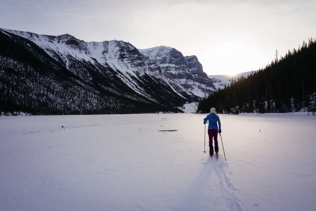
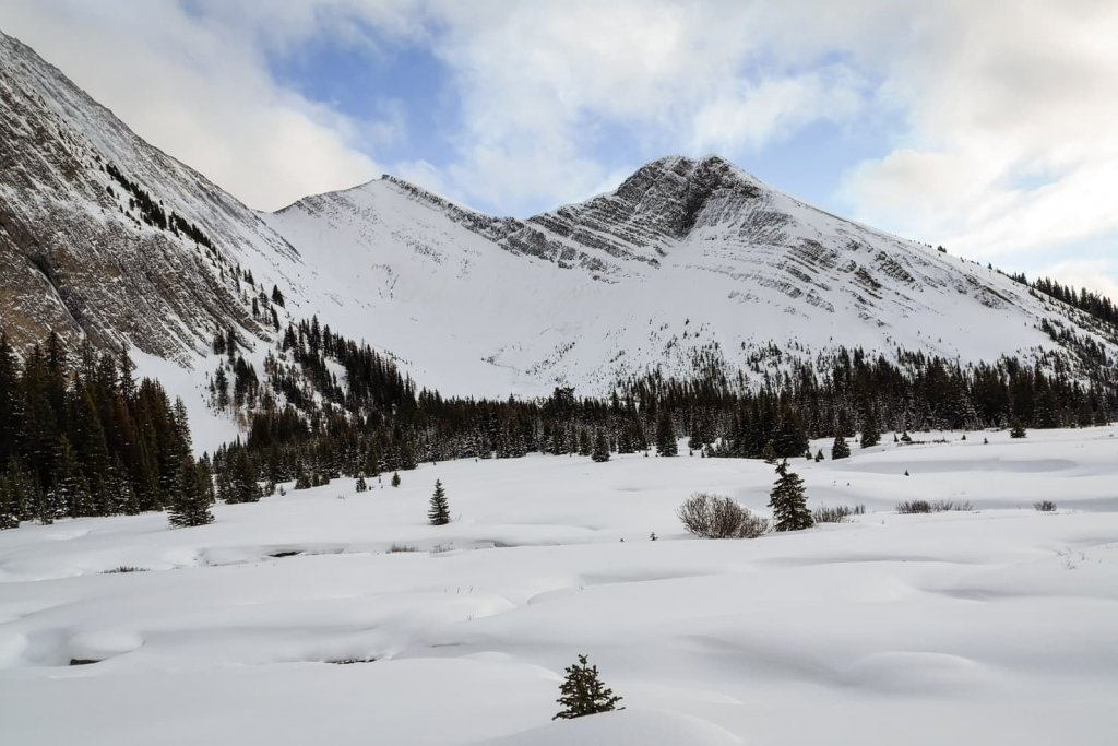
These are our favourite cross country ski trails in Banff & beyond:
Table of Contents
Cross country skiing in Banff National Park
1. Spray River Loop in Banff
Distance: 11 km loop
Elevation gain: 140 m
Trail info: maintained and groomed tracks
The busiest trail in Banff is a short and easy loop ideal for cross country skiing, hiking, snowshoeing, running and biking.
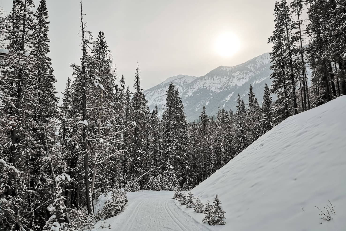
One option is to start from the parking lot located 100 m past the Banff Spring Hotel. Or you can park at the Bow Falls, cross the bridge, and you’ll see well-groomed tracks on your right, that’s our usual starting point.
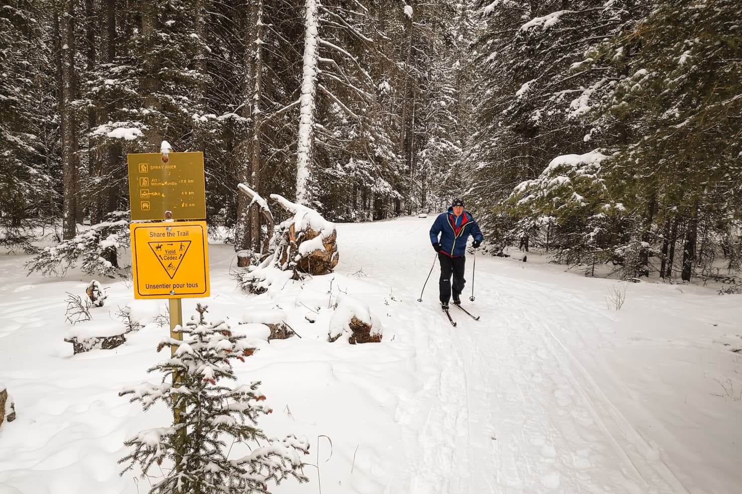
This loop along the Spray River offers views of Mount Rundle on one side, and Sulphur Mountain on the other. Tracks are well maintained, and the course is rolling up and down.
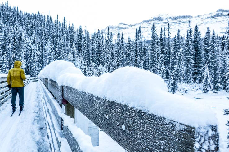
Once you reach the shelter and bridge halfway in, you can test out the crystal clear water, in case you are carrying a water filter – we love using the LifeStraw water filter bottle. (The trail continues further to the valley for another 12 km on Goat Creek Trail, which would lead you to the parking lot above Canmore. It’s doable but count in many more hills.) We crossed the bridge and continued back on the other side of the Spray River.

Note that you will not end up exactly at the same place where you started. If you started from the Banff Springs Hotel, you would end up at the golf course and vice versa. Make your way to the parking lot on foot.
I recommend buying some food beforehand and making use of the open pit fire to grill your lunch by the ice rink (below the Waldhaus Restaurant).
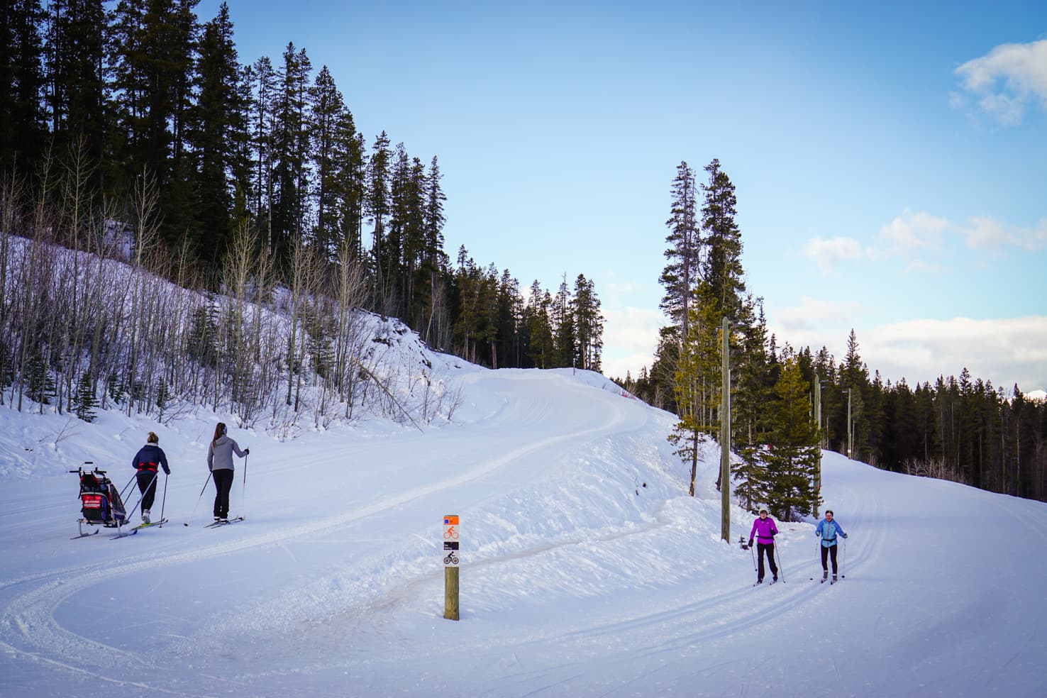
Spray River cross country ski trail is one of our favourites in Banff.
2. Cascade Trail at Lake Minnewanka
Distance: 28 km roundtrip
Elevation gain: 276 m
Trail info: maintained and groomed tracks
An easy trail through the Cascade Valley at Lake Minnewanka with an open portion of mountain views near the Cascade Bridge.
During winter, Lake Minnewanka is only accessible driving from Banff along Two Jack Lake. The other portion of Lake Minnewanka Scenic Drive is closed – used for cross country skiing. The trail starts from the Lake Minnewanka parking lot.
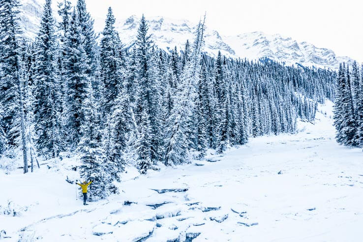
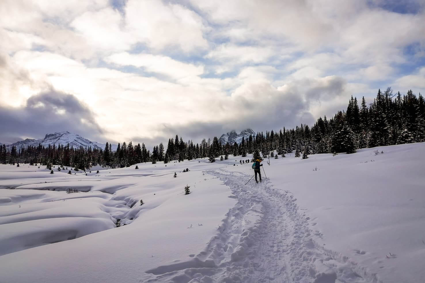
Shortly after entering the road, it leads into the forest going uphill on an old fire road. Then it flattens and is very easy. Tracks are well maintained and accessible for hikers in snowshoes as well. It opens up after 6 km with views of the surrounding mountains.
The bridge across the Cascade River was our turning point at 7 km, although it is possible to go further to the warden’s cabin (28 km roundtrip). It was -18C when we went and felt that 14 km would be enough for the day.
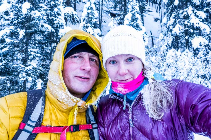
I’ve also heard of cross country skiing at Lake Minnewanka when the lake is snow-covered and you can ski across or along the shore. We haven’t tried it yet but I can’t imagine a more scenic location.
3. Road to Moraine Lake in Lake Louise
Distance: 20 km roundtrip
Elevation gain: 370 m
Trail info: maintained and groomed tracks
A wide road leading to Moraine Lake in summer turns into cross country ski trail in winter with a view of Lake Louise ski resort up until the viewpoint of Ten Peaks.

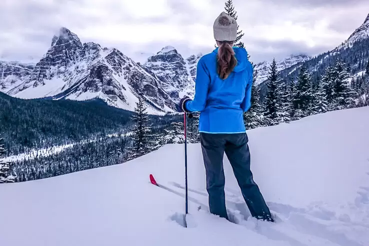
Moraine Lake Road is closed to traffic in winter but open for cross country skiing. It’s well maintained and groomed for both classic and skate cross country skiing. Although it is mostly uphill, the grade is so low; sometimes, it doesn’t even seem like you are going up. We got some lovely views of Lake Louise ski resort, Bow Valley and Ten Peaks at the end.

The trail is safe up until the sign (10 km in), which warns against a possible avalanche. Tracks are not maintained beyond the sign, and it is not recommended to continue without avalanche training and gear.
We were determined to reach Moraine Lake, which would add another 4 km to the trip, but the snow became too deep. We admired the view of Ten Peaks from the end of groomed tracks and then enjoyed skiing back as it’s all down – sometimes not enough to coast.
TIP
Cross country skiing at Moraine Lake is just one of many things you can do there, check out our comprehensive Moraine Lake guide.
4. Moraine – Fairview – Lake Louise Loop
Distance: 14.5 km loop
Elevation gain: 170 m
Trail info: maintained and groomed tracks
A scenic loop from Moraine Lake Road to skiing across the famous Lake Louise with ice sculptures and frozen waterfalls.


Same as the previous trail, it starts at the beginning of the Moraine Lake Road. After about 1.5 km skiing on the road, you see a sign on the right to Fairview Hill. It’s a wide trail, mostly through the forest and occasional mountain views.
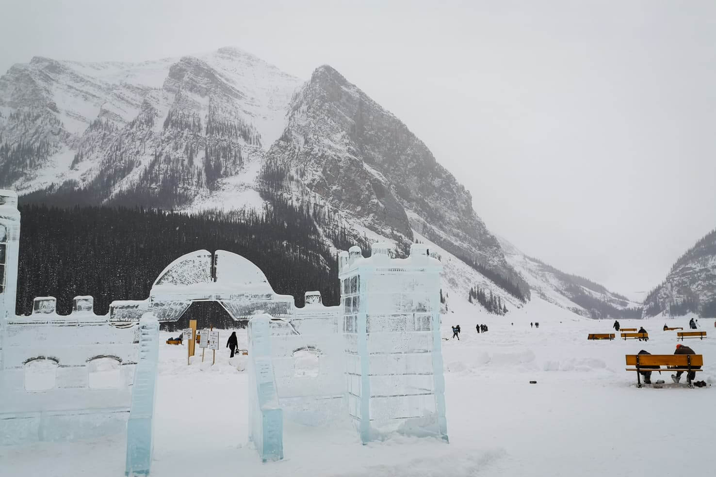
After 4.6 km, it ends at the Lake Louise parking lot. We walked across the parking lot to Lake Louise and continued across the lake for about 2 km on skis. A beautiful frozen waterfall at the far end of the lake was our turning point.

If you visit at the end of January after the Ice Festival, you will be welcomed by an ice castle and many ice sculptures by the Lake Louise Chateau.
To make this trip a loop, you will continue on the Tramline Trail starting by Deer Lodge and finish at the Moraine Lake Road parking lot.
5. Great Divide Trail in Lake Louise
Distance: 20 km roundtrip
Elevation gain: 127 m
Trail info: maintained and groomed tracks
An excellent option for an easy cross country skiing trip – almost flat and opportunity to turn around anytime.

The old highway through the mountains is now closed, and the Great Divide cross country ski trail is awesome in winter, as well as summer when you can go biking. On the way to Lake Louise, the parking lot for the Great Divide Trail is marked on the right-hand side. It’s a wide trail with groomed tracks for both classic and skate cross country skiing.

Snowmobile maintaining the tracks passed us on our way out, making nice and fresh tracks for us. You spend most of the time in the trees, with a view of Mount Temple and later passing the Great Divide arch with a picnic shelter. The trail ends at the Lake O’Hara parking lot.
Occasionally, you can meet a bunch of dogs on the trail as it’s also a popular place for dog sledding.

6. Boom Lake
Distance: 13.5 km
Elevation gain: 210 m
Trail info: xc skiers and snowshoers on the trail
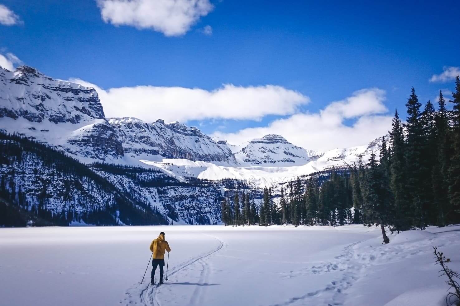
A beautiful short trip close to the border with Kootenay National Park to a snow-covered lake with the option of skiing to frozen waterfalls.
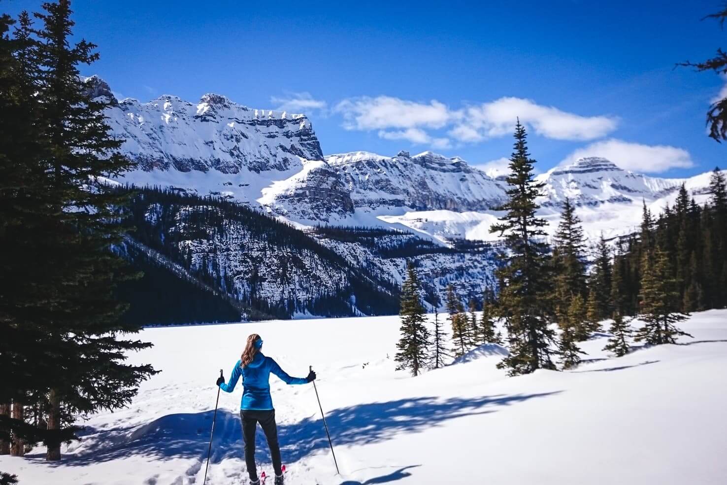
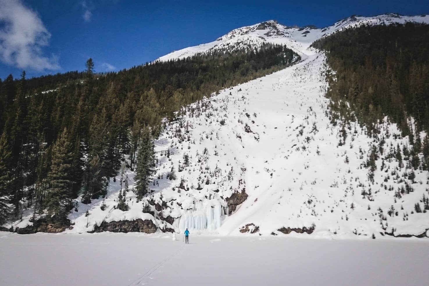
A short 5 km trail is just wide enough to pass other skiers and snowshoers. It goes mostly through the forest until you reach Boom Lake. The sunny day was just calling out to me to sunbathe on the shore. Who cares the lake is hiding under the snow? You can sunbathe in winter as well.

After lunch, we went a bit further and stumbled upon several frozen waterfalls. If you decide to ski across the lake, be aware of the several avalanche paths that come down the mountains and keep your distance from the shore if it snowed recently.
Read the full blog post Boom Lake in Banff National Park for more info and pictures from summer and winter.
If you’re looking for a scenic and quiet place, cross country skiing to Boom Lake is your best bet.
7. Redearth Creek to Shadow Lake
Distance: 28.5 km roundtrip
Elevation gain: 520 m
Trail info: usually maintained
A long day trip ending at a picturesque lake is well worth the effort, and the slow downhill back a nice reward.

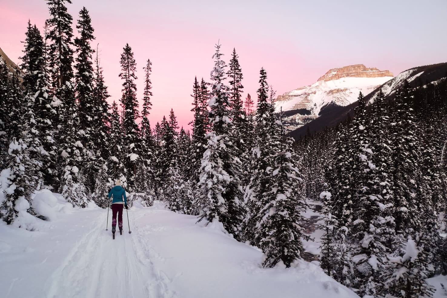
The trail starts along Trans-Canada Highway at the Shadow Lake sign. You warm up right from the beginning, skiing uphill for about 1 km. We continued on set tracks that disappeared from time to time, but the snow was nicely packed and easy to ski on.
It’s a wide trail mostly through the forest with occasional mountain views and minimal elevation gain.


It gets a bit harder after the no-biking sign at 10 km. The snow was deep, and the hill steep, so we walked around 400 m until it flattened, and we put on skis again. We started late, and the sun was already going down the last 3 km we skied to the lake.

We caught a beautiful sunset, though, and because the Shadow Lake Lodge was closed (in mid-January), we had a snack on the bench and hurried up back to the parking lot. Even though we skied half of the trail in the dark, luckily, it was mostly downhill, and we gained a new night skiing experience with a headlamp.
8. North Saskatchewan Glacier
Distance: 9.2 km
Elevation gain: 100 m
Trail info: not maintained but relatively easy to follow trail
An easy off the beaten path trail with minimal elevation leading mostly through an open snowfield to the North Saskatchewan Glacier with spectacular mountain views.

This is a very little known cross country ski trail in Banff National Park. Probably because it’s quite far from Banff and most people choose to ski on groomed tracks anyway. When getting to North Saskatchewan Glacier, you make your tracks (unless you get really lucky and there were some skiers before you).

The trail starts on the Icefields Parkway, about 115 km north of Lake Louise or 170 km from Banff. A small unmarked pull-off parking spot is in the middle of the Big Bend curve before the road climbs to the Panther Falls. When driving from Lake Louise, it’s on the left-hand side, and it is the starting point.
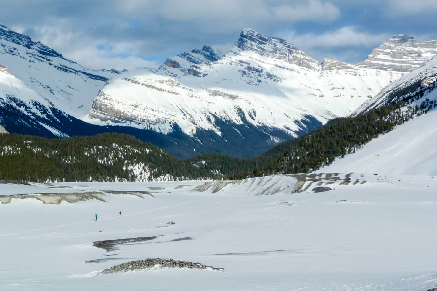
We followed a Big Bend Peak Route. It starts with crossing the North Saskatchewan River, which was mostly covered in snow when we’ve visited. Then you go through a forest until you reach a big snowfield with North Saskatchewan Glacier at the far end. Because there were no signs or tracks, we stopped at around 4.6 km, had lunch with a glacier view and turned around.
If you try this trail, I highly recommend visiting Panther Falls as well. They are just as spectacular in winter as they are in summer.
Cross country ski trails in Canmore, Kananaskis & Jasper
9. Stutfield Glacier in Jasper National Park
Distance: 10 km
Elevation gain: 235 m
Trail info: not maintained
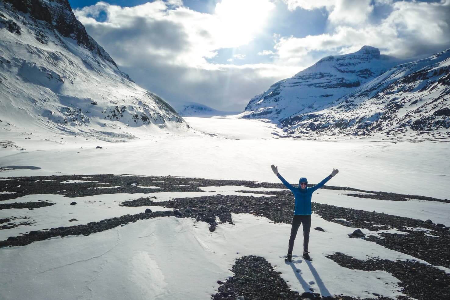
An off the beaten path trail leading to the Stutfield Glacier and plenty of ice caves.

When driving on Icefields Parkway, the trail starts just past the border of Banff and Jasper National Parks. Although you can technically start skiing anywhere, we chose to park on the side of the road shortly after the Stutfield Glacier lookout.
We followed the Sunwapta River until we found a spot narrow enough to jump across it. There is no official trail and a very little chance someone set tracks before you. We made our way through the valley surrounded by mountain peaks with a view of Stutfield Glacier in front of us.

The ice waves and ice caves formed at the foot of the glacier were a stunning turquoise colour. Because we haven’t had the right equipment, we didn’t even think about entering any caves, but pictures I found on Instagram that inspired this trip looked stunning.

10. Mount Shark in Kananaskis Country
Distance: from 2 km to ∞
Elevation gain: any from 100 m
Trail info: maintained and groomed tracks
Well maintained trail system for all levels and difficulties with mountain views all around.

Mount Shark trail system was developed for training and racing. It offers well maintained groomed tracks for both classic and skate cross country skiing. From 2 km to 15 km loops, from easy to difficult. The loops are connected; you choose what length and difficulty you would like to ski. You can download a map of the trails.

These trails challenged us; a few uphills were quite hard for us beginners. And going downhill was so much fun. We’re still not sure how to go downhill when xc skis don’t have sharp edges like downhill skis do, and you can’t just turn and slow down that way.
Endless views of the surrounding peaks and having trails all to ourselves added to our great day out.

11. Chester Lake in Kananaskis Country
Distance: 9 km
Elevation gain: 325 m
Trail info: maintained and groomed tracks
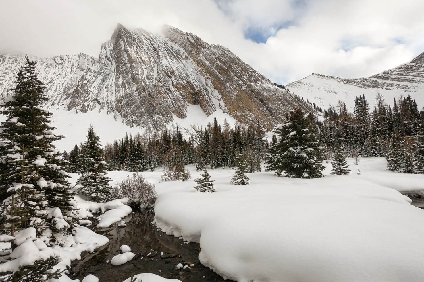
A very popular trail year-round and easy enough for all levels leading to a picturesque Chester Lake.

Chester Lake Trailhead is located on the Smith Dorien Trail, about 47 km south of Canmore. It’s popular for cross country skiing and snowshoeing in winter, and there are specifically marked trails for both activities.
The first 2.5 km are climbing slowly uphill through the trees until you reach an open valley with a view of Mount Chester. The trail is straightforward and flattens the last 2 km to Chester Lake.
As always, skiing downhill with a few falls was fun, but we should learn how to slow down on cross country skis properly.
12. Nordic centre in Canmore
Distance: from 5 km to ∞
Elevation gain: any from 100m
Trail info: maintained and groomed tracks
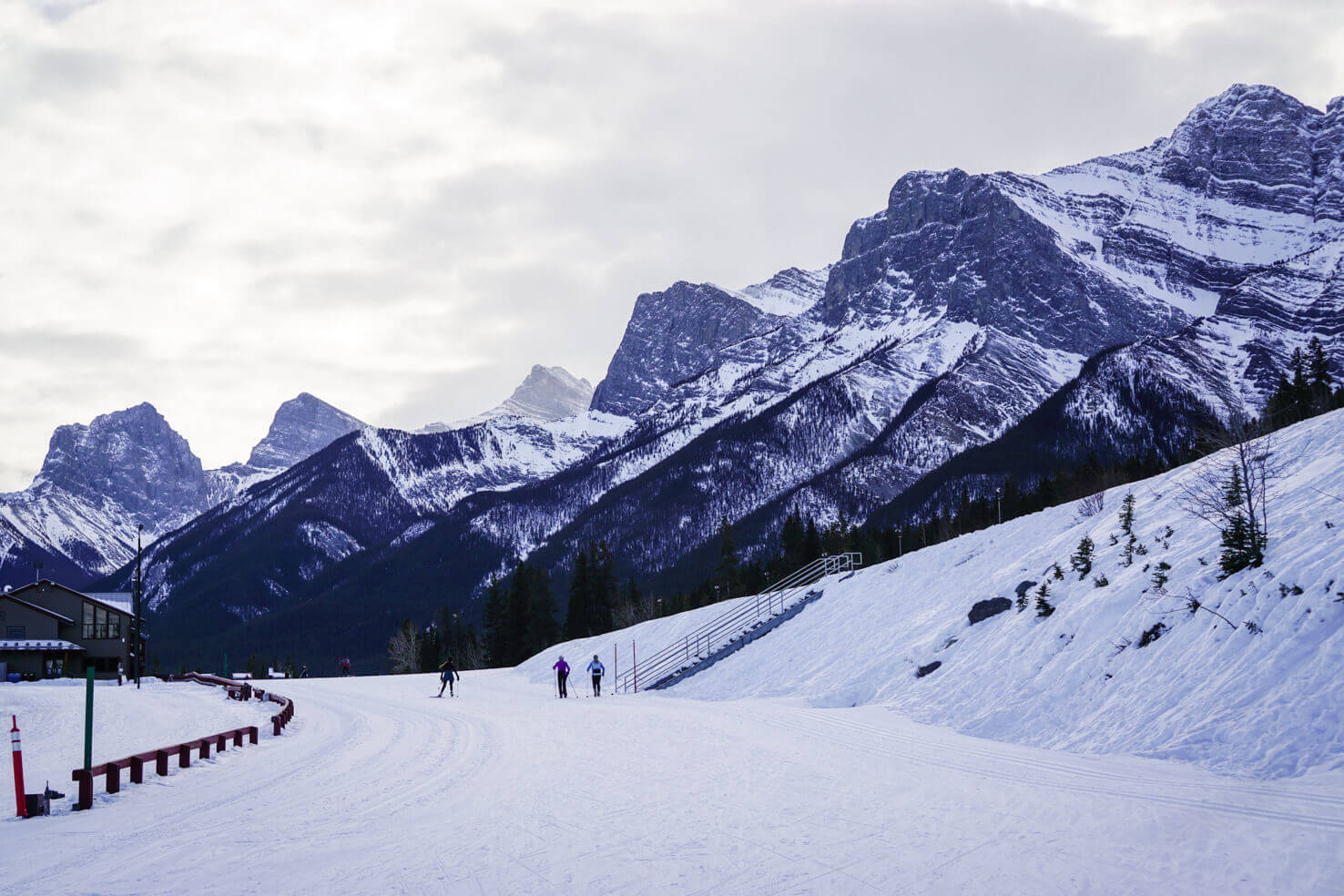
Canmore Nordic Centre hosted cross country skiing at the 1988 Winter Olympics. Ski trails are well maintained for both classic and skate cross country skiing. You can choose whatever loop you like with different difficulties.
A 6.5 km main loop is popular day or night – it is quite flat and illuminated in the evening. Trails are accessible after paying a fee at the Day Lodge. Check the cross country ski pass rates before you go as they change annually.
You can find a trail map, weather report and grooming report on Alberta Parks.
Cross country skiing in Banff is an amazing winter activity and we hope you’ll enjoy it to the fullest!
Essential information about cross country skiing in Banff
Access to cross country ski trails
For all trails in the national park, you’re required to purchase a park pass to enter. Fees go towards parks’ maintenance, and you will appreciate the clean toilets even throughout winter.
All cross country trails are free to use except for Canmore Nordic Centre.
For the last 3 trails in this guide – Mount Shark, Chester Lake, and Nordic Centre, you’re required to purchase a Kananaskis Conservation Pass.
Kananaskis Conservation Pass
All vehicles parking at the provincial park and on public land in Kananaskis Country and the Bow Valley must purchase a Kananaskis Conservation Pass. You can buy it online or in-person at Kananaskis Visitor Centers & Canmore Nordic Centre. The day pass costs 15 CAD for one vehicle, and the yearly pass costs 90 CAD for two vehicles.
It’s free if you visit on Wilderness Wednesdays, the first Wednesday of every month.
Trail conditions for cross country skiing in Banff
Check for trail conditions, avalanche reports and backcountry safety before you go:
Current conditions from skiers are also regularly posted on the SkierRoger website.
Cross country ski rental
Cross country skiing gear is available for rent at:
- Canmore Nordic Centre
- in Banff at Backtrax
- Outdoor Centre at the University of Calgary
TIP
For more cross country skiing trips, check out the book Ski Trails in the Canadian Rockies.
Winter activities in Banff & Canmore
Winter hikes
- Sulphur Mountain – you can hike up the hill and take the gondola down for free
- Johnston Canyon Ice Walk – beautiful year-round hike with (frozen) waterfalls and green mineral pools Ink Pots
- Ha Ling Peak in Canmore – newly opened after major construction it can be hiked in winter as well, check conditions beforehand
- Grassi Lakes in Canmore – an easy and gorgeous hike, check for seasonal closures beforehand
- Grotto Canyon Ice Walk near Canmore – an easy hike through a deep canyon ending at frozen waterfalls
TIP
Read our recommendation: A comprehensive Banff packing guide for Canadian Rockies.
Ice skating on frozen lakes
Our favourite activity at the beginning of winter when it’s cold for lakes to freeze and before they’re covered with snow. Check out our blog post about ice skating for all lake options in Banff & beyond.
Canmore winter activities
*In the spirit of full disclosure: Some links in this post are affiliate links, which means that if you purchase through them, we receive a small commission at no extra costs to you. We appreciate your support!
Do you like cross country skiing in Banff? Let us know your favourite trails below.
Spread the word! PIN this to your Pinterest board.













For the Stutfield Glacier hike, does the hike start just north or south of the banff/jasper border? Curious where you started this, and if you went up the north or south side of the stutfield glacier! 🙂