The Carretera Austral is a scenic road in a remote part of Chilean Patagonia. It’s filled with snow-peaked mountains, lakes, and rivers in every shade of blue imaginable and way too many glaciers for more than 1000km. World-class rafting, the highest mountain of Patagonia, trekking on a glacier and many more adventures await.
We spent a couple of weeks on Carretera Austral and wished we could stay months, if not years. Many travellers we’ve met felt the same.

If you’re new to Chile, make sure to read our post Adventure travel guide to Chile
For nature lovers, Chilean Patagonia around Carretera Austral is a quiet and lesser-visited area compared to the ultra-popular Torres del Paine National Park. It offers more diverse scenery, including gorgeous turquoise lakes and countless glaciers, as well as more value for your money.
The route itself lacks marketing, well known to North American countries or New Zealand. Not much information is available online and we haven’t found any useful guides or tips. That’s why we created this guide, to help you with any questions you might have.
Immerse in the most comprehensive guide to the Carretera Austral you can find online.
Table of Contents
Why was Carretera Austral created
Issues with the Argentinean border in a nutshell:
Imagine you have a neighbour that suddenly stopped accepting the deal you made in splitting your land (Chilean and Argentinean land in this case). You realize that a third of your land is not accessible by any road. I can imagine your first thought would be to connect and protect the land.
It would take 23 years to build a 1247 km long road.
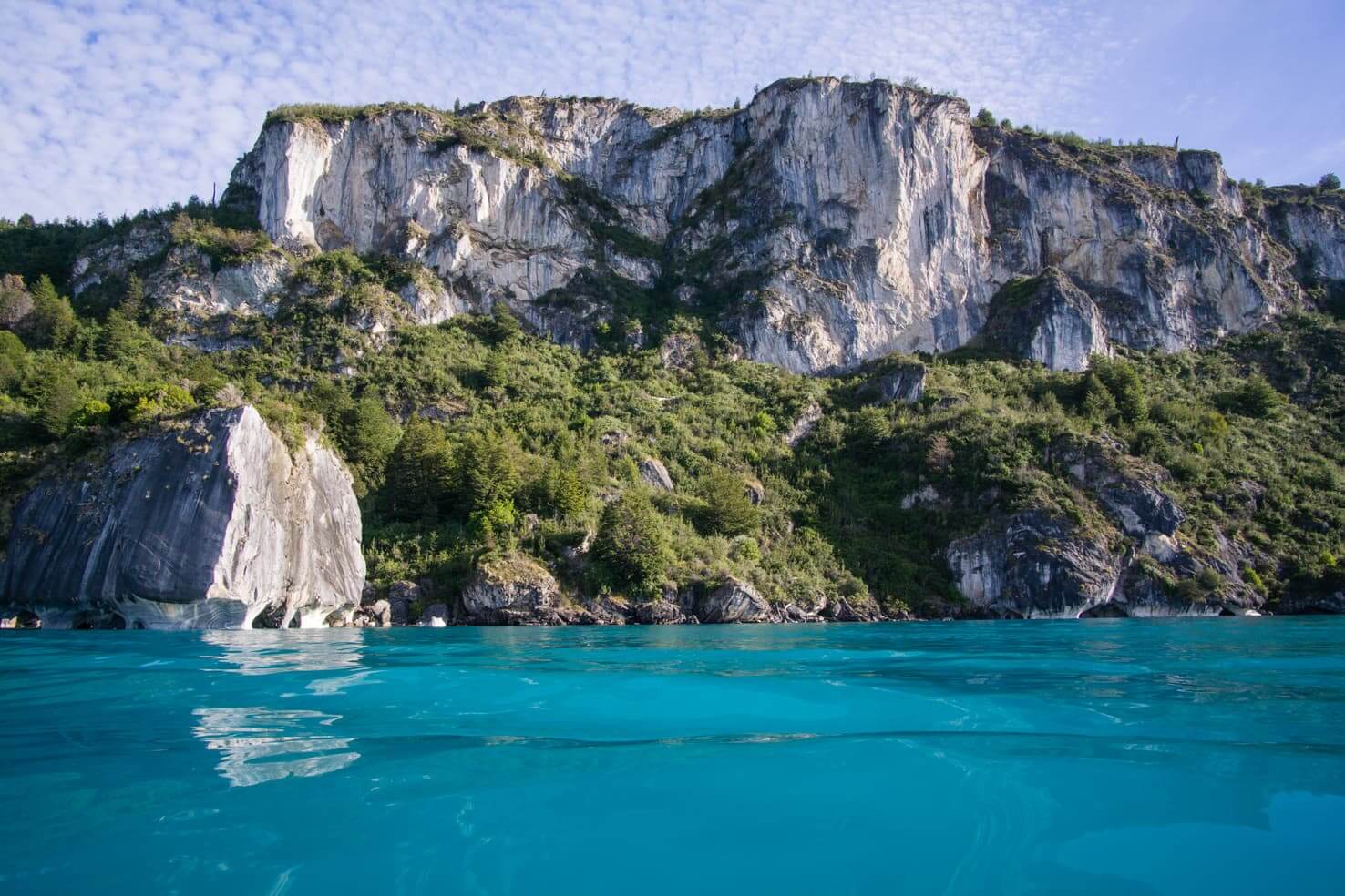
Then you realize that what you built is not just any road. It is actually one of the greatest rides in the world with natural beauties which otherwise would stay hidden from travellers.
The Carretera Austral bridges northern and southern Patagonia avoiding Argentinian dullness of dry arid plains.
Facts about the Carretera Austral
The Carretera Austral (Southern Highway) or Ruta 7 (Route 7) is 1247 km long. It starts in Puerto Montt (according to some sources in Ralun), the Chilean salmon capital, and ends in Villa O’Higgins, a small remote village on the Chilean-Argentinean border.
Late dictator Augusto Pinochet ordered his army to build the road in 1976. Most of the road sections were opened for traffic 12 years later, in 1988 and the last road section opened in 2003 to Caleta Tortel. Many sections of the Carretera Austral are still not fully paved, south of Villa Cerro Castillo is only gravel. It may take another 3-5 years for the road to be fully paved.
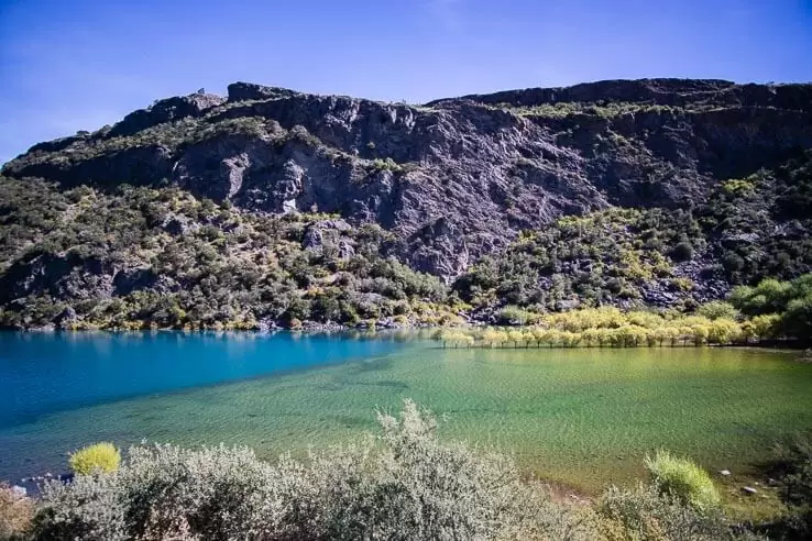
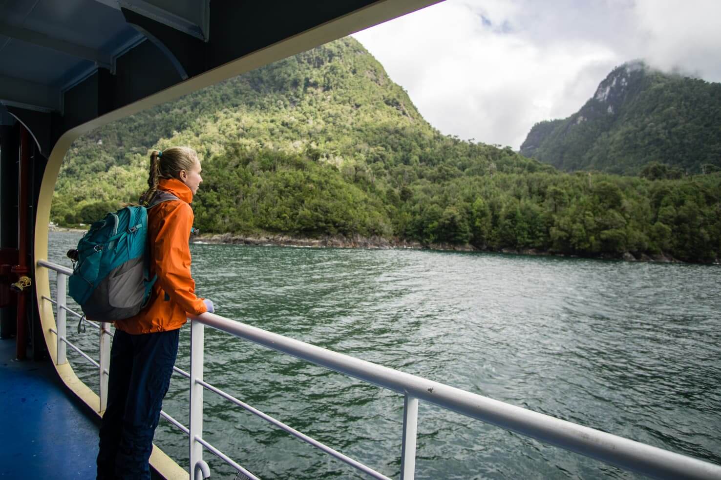
To travel the length of the Carretera Austral along the fjords, you will need to cross 4 sections by ferries which run a few times a day. The road only connects about 100,000 Chileans but almost 20% of the Chilean landmass.
The road was not only built for military purposes but also to decrease the dependence of the southern regions of Chile on Argentina. Before the road was built, people had to enter Argentina to get to the rest of Chile.
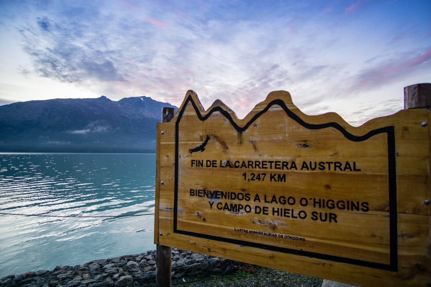
The Carretera Austral has a dead-end in Villa O’Higgins because of the vast impassable Southern Patagonian Icefield.
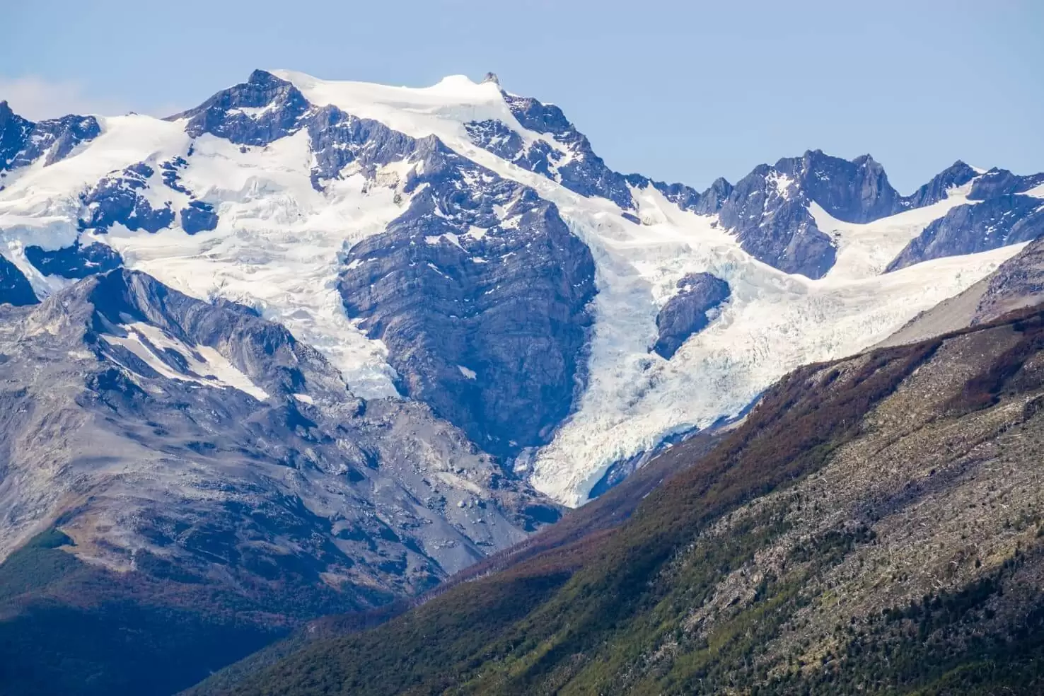
There is a plan in place which will connect all Chilean land by road and short ferries. Now, the southernmost branch ends at Ventisquero Montt. The Carretera Austral should be finished by 2040 and will connect Chile through islands and fjords west of the Southern Patagonian Icefield to be even longer. Before then, continue reading to see why you shouldn’t procrastinate and start planning your trip.
And now let’s get to the most exciting part for every traveller– how to get to this southern tip of the world, when to go, what to do & what you can see.
How to get to the Carretera Austral
As an international traveller, you will land in the capital, Santiago.
From Santiago to Puerto Montt
You can either continue:
- by plane
If you book a flight from Santiago to Puerto Montt in advance, it should cost around 50USD. Read more in our post about how you can save on flights to Patagonia.
- by bus
We travelled very last minute and the only option was a night bus. It took around 12 hours from Santiago to Puerto Montt. I know this sounds like a lot but let me tell you something – travelling on Chilean buses was the best experience with buses we had in all of South America.

You can choose a semi-reclining seat for 10,000 – 20,000 CLP (30 USD) or a fully reclining seat for 25,000 – 40,000 CLP (60 USD), depending on the season and if you book it in advance.
Check the tickets on this website or here for Turbus (the one we have experience with).
We’ve travelled on a double-decker bus with fully reclining seats, an attachable mattress, pillow, blanket, a private TV screen with movies, books, games and were also given 3 snacks during the trip. The bus had very comfortable and wide seats with curtains for privacy, air-conditioning and even a toilet.
Entering Carretera Austral by car
There are a few options how to enter the road by car:
- From the north from Puerto Montt:
-
- If you want to visit Chiloe island first, take Ruta 5 and then ferry to Chaiten to continue on Carretera Austral
- Take Ruta 7 (Carretera Austral), three ferries and arrive in Chaiten the same day. The first ferry is free and departs every 30 minutes, the other 2 need to be booked in advance. Check this website or this one for ferry departures and prices. It takes 9 hours to get from Puerto Montt to Chaitén.
(The bus from Puerto Montt to Chaitén departs several times a day and costs around 10,000 CLP/15 USD.)
- from the east through many border crossings with Argentina
- from the south take a ferry from Puerto Natales to Tortel, check their website for more info
- option for pedestrians and bikers only – by boat from Argentinean town El Chalten to Villa O’Higgins
- the last option is to fly to Coyhaique (airport Balmaceda) in the middle of the Carretera Austral
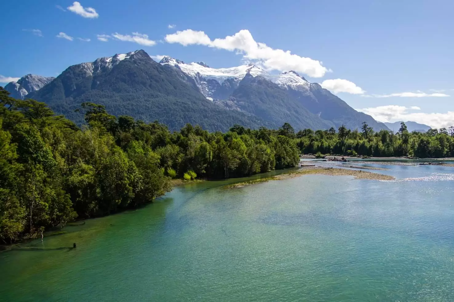
Best time to visit Carretera Austral and Chilean Patagonia
Chilean Patagonia spreads south of the 40th parallel. Bear in mind that the seasons are opposite to the seasons in the northern hemisphere. Therefore it makes a great place to do the opposite most people are used to (ski in July).
Also, it’s the only place in the southern hemisphere outside of Antarctica where you can see proper winter. Plenty of snow and freezing temperatures are from June to September.
Summer on the Carretera Austral is from December to February. It’s the highest and busiest season. You can expect good weather and fewer people in the shoulder season, November/December and March/April. January and February are South American school holidays so if you wish to avoid the biggest crowds and get better deals on tours and accommodation, try to come in December (when days are the longest) or in March.
For a more detailed breakdown, read our article: Best time to visit Patagonia
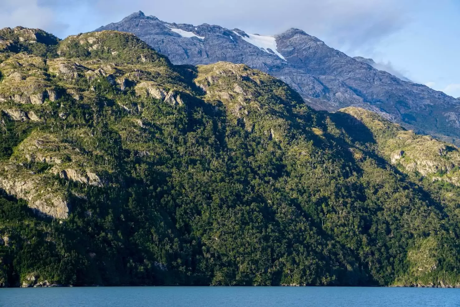
Things to do on the Carretera Austral
This is outdoors heaven and possibilities are endless. As you will travel on the Carretera Austral, you’ll see that the places already explored are only tiny fractions of the untouched and unpolluted vastness of Chilean Patagonia.
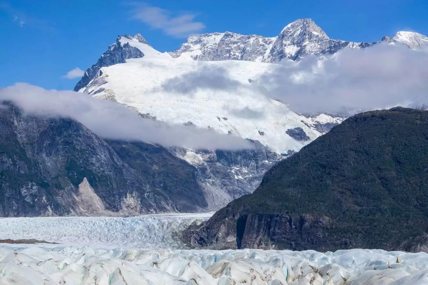
Below list of activities and places to visit is the most detailed you can find online.
- Rafting – Rio Futaleufú and Rio Baker
- Fly fishing – any part along Carretera Austral
- Wildlife watching – Park Patagonia, Isla Magdalena
- Hiking – Pumalín, Queulat, Cerro Castillo, Villa O’Higgins
- Road trip – any section of Carretera Austral
- Glacier walking – Exploradores, Cerro San Lorenzo, Northern Patagonian Icefield
- Glacier boat tours – Glacier San Rafael, Glacier O’Higgins, Glacier Jorge Montt
- Kayaking – Lago General Carrera, fjords, and any river
- Biking – mountain biking in Coyhaique or touring the Carretera Austral
- Skiing – El Fraile south of Coyhaique
- Mountaineering – Patagonian Icefields, Cerro San Lorenzo
- Hitchhiking – national summer “sport” along the road
READ FOR INSPIRATION
50 insane pictures of Chile to inspire your travels
Patagonian Route of Parks
Carretera Austral and the parks along the road are now part of the Patagonian Route of Parks scenic road. It’s a network of 17 national parks from Puerto Montt to Cape Horn and connects 3 scenic routes:
- Southern Way (Carretera Austral)
- Patagonian Channels
- End of the World Route
The trail was created together with the Chilean government after the world’s largest donation of privately owned land by Kris Tompkins from Tompkins Reservation to preserve the ecosystem and build sustainable tourism.
You can find more info on their website.
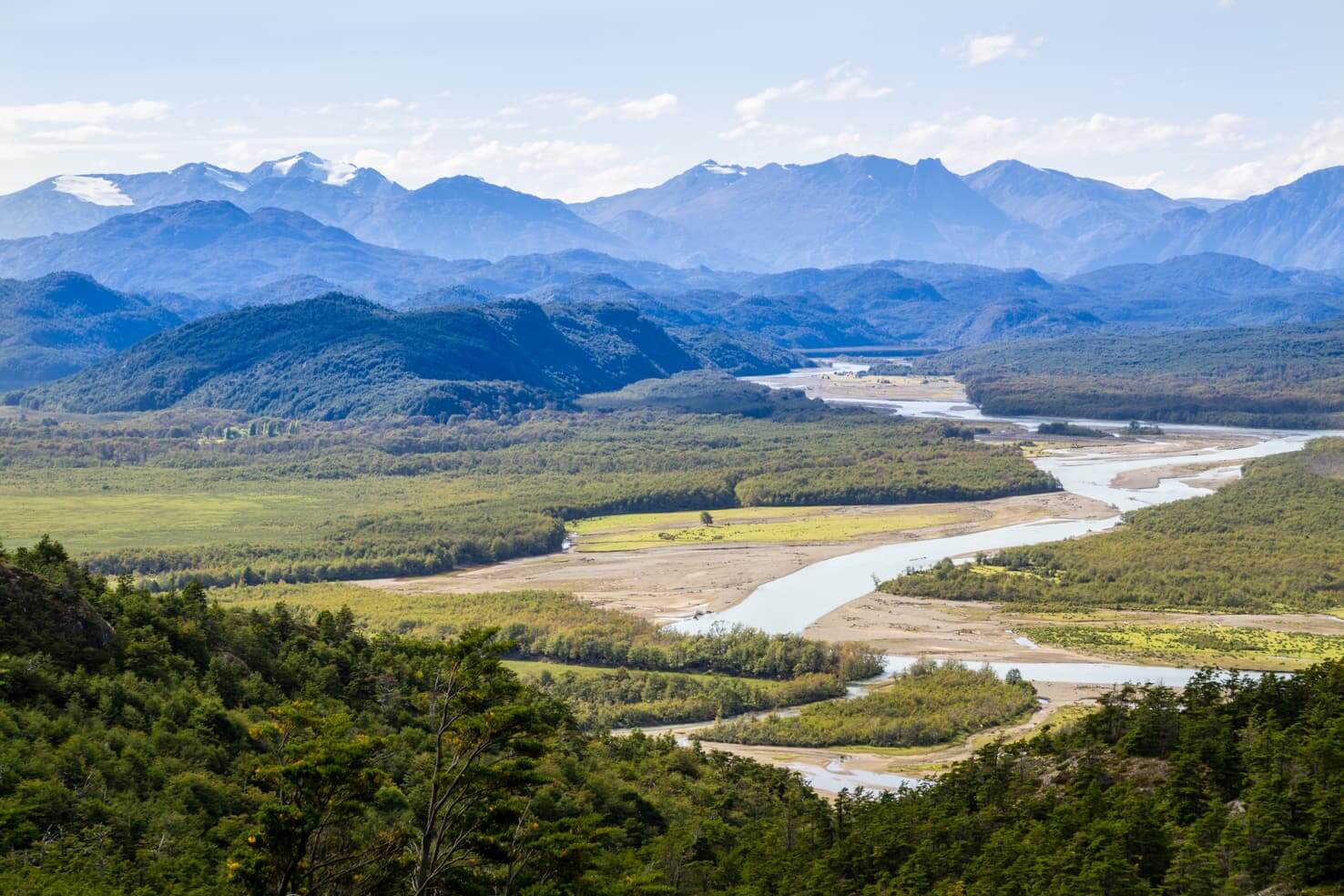
Map of Carretera Austral
Places to visit on Carretera Austral
There are now 11 national parks along the road and many nature reserves. You can even call this place the Ice Age of South America as clean water is frozen in countless glaciers and two giant icefields. Some travellers never left while others return every year as they fell in love with the wilderness refuge.
The below places are arranged from north to south. The importance of the below places depends on your plans and preferences. You will find an enormous variety of towns and parks.
Pumalín Douglas Tompkins National Park
One of the newest national parks is the biggest conservation project in South America created by a private person. It is located right after the third ferry crossing coming from Puerto Montt.
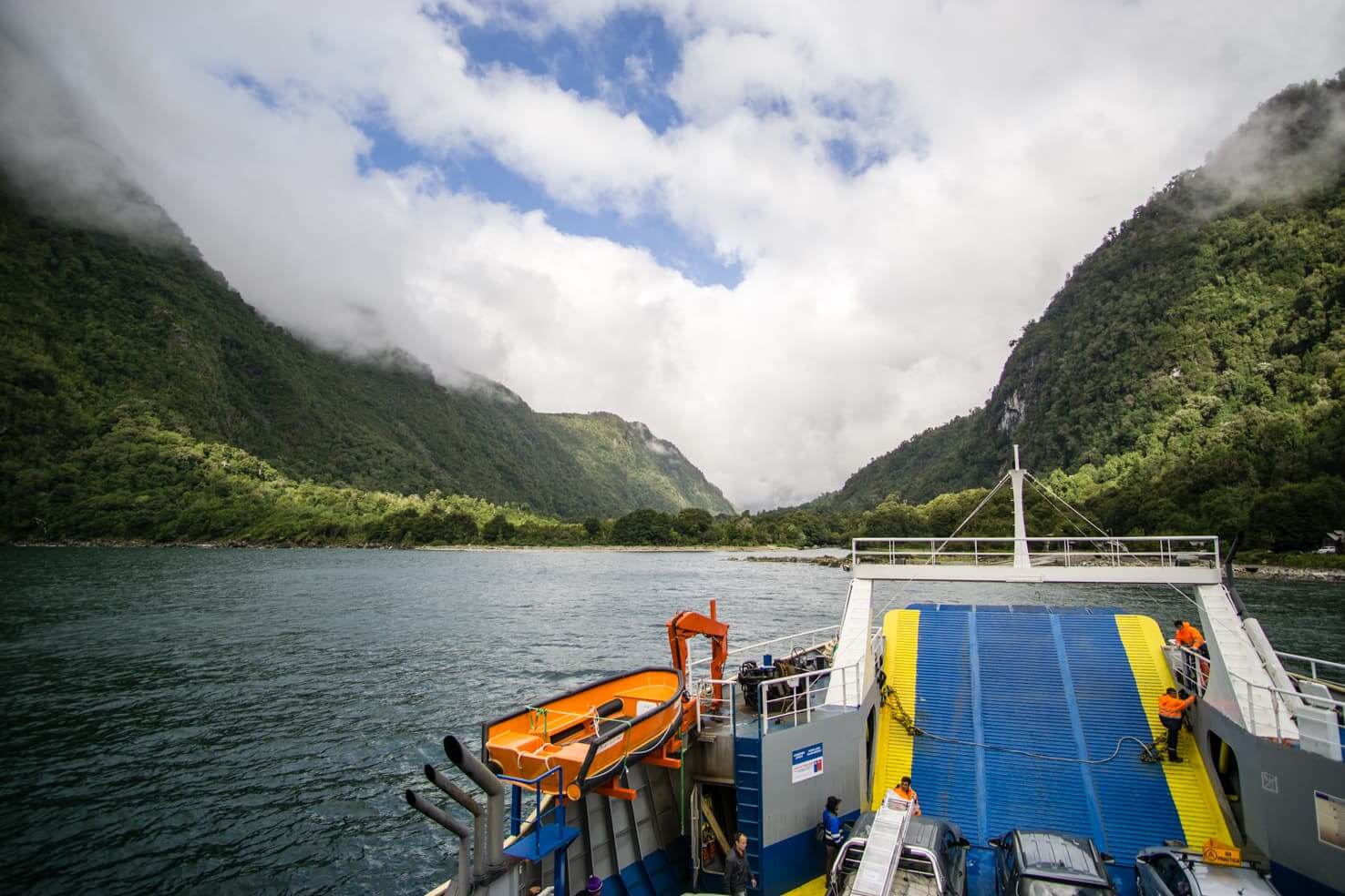
You can stay at a campground and go hiking or sea kayaking through the fjords. Most of the hiking trails have trailheads between the visitor’s center and the town of Chaitén. There are around 10 hiking trails, they are quite short and require less than half a day. You can find more info about the park here.
Chaitén
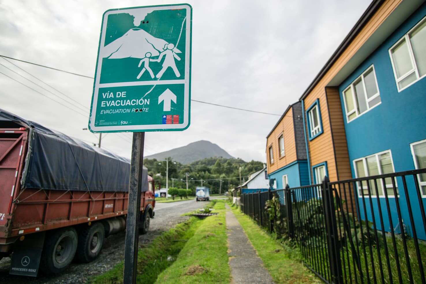
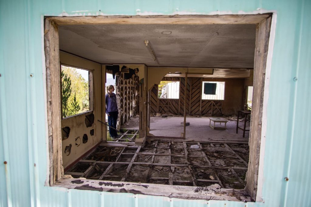
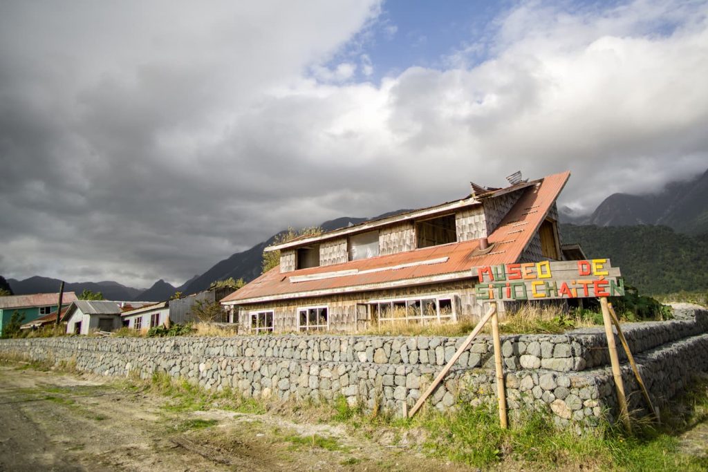
The town of Chaitén is the first place after Puerto Montt where you can buy food or fuel. Chaitén became well-known after the 2008 volcano eruption buried part of town with mud. Some parts around the river can be still seen covered by ash and dust. There is a full day hike to the crater of the Chaitén volcano from the townsite.
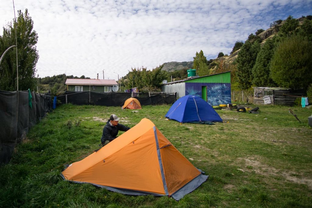
We stayed at Las Nalcas campground for 5,000 CLP (7,50 USD) per person. It is a small house with a dorm room and camp in their back yard. You have a shelter with a kitchen, hot showers and wifi.
Futaleufú
Once you reach Santa Lucia village, you can take a small detour to get to the world-renowned rafting place Futaleufú. It is only about 75 km away but the road is not paved and driving will take about 2.5 hours. Definitely worth it if you want to raft in the best white water of Patagonia.
After Santa Lucia, there is a big crossroad before you reach Puyuhuapi called La Junta. You can find here a campground, a few guest houses, restaurants and a gas station serving delicious fresh donuts.
Puyuhuapi & Queulat National Park
Puyuhuapi is a small village at the end of Ventisquero fjord with less than 1000 citizens. It was set up by German immigrants as a fishing village. Nowadays, Puerto Puyuhuapi is a great place for sports fishing and a gateway to Queulat National Park.
It has several restaurants, mostly serving fish, guest houses and small grocery stores.

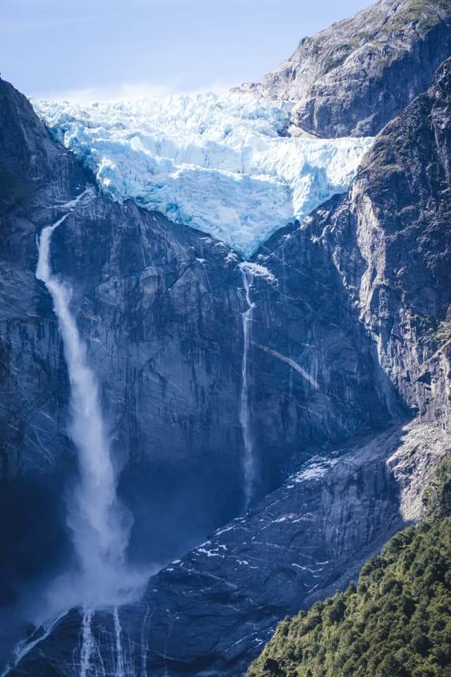
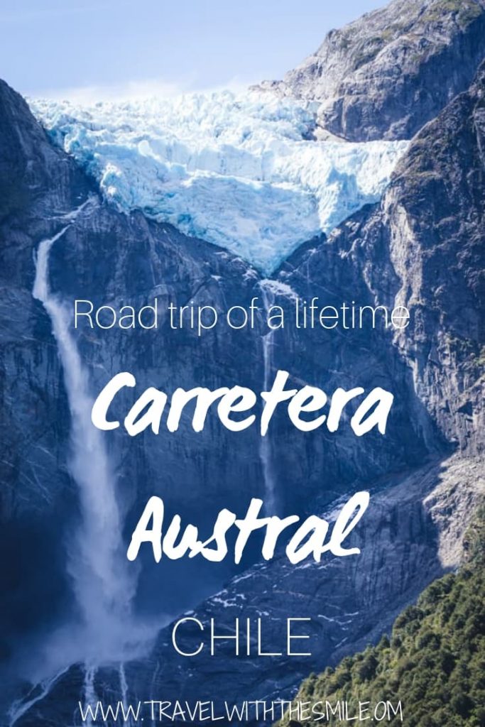
22 km from Puyuhuapi is Queulat National Park with stunning campgrounds, picturesque scenery and Hanging Glacier (Ventisquero Colgante) with waterfall.
Only 5 minutes (2 km) of the Carretera Austral is an entrance to the park. It costs 5,000 CLP (7,50 USD) per person and another 5,000 CLP per person for a campsite. It has a sheltered area for cooking and hot showers.
The glacier with waterfall wasn’t visible from the campsite but we’ve heard loud cracks at night.
The reason people visit Queulat National Park is the Hanging Glacier (Ventisquero Colgante). We took it very slowly and reached the viewpoint in about 2,5 hours. The trail crosses a hanging bridge and then climbs slightly uphill through a dense jungle to a viewpoint.
Hanging Glacier hike – 9,7km; 410 m elevation gain
If you’re unable to hike to the viewpoint, no worries at all. You can also see the glacier and waterfall from the lakeshore, take a guided kayak tour (12,000 CLP per person) or go closer by boat (5,000 CLP per person).
With special permission obtained in advance, you have an option to hike to the top of the glacier.

Isla Magdalena National Park
The whole national park consists of one big island and a few small islands on the west side. National Park was set up in 1963 to protect penguins and unique undestroyed natural habitats for marine mammals. The island is only accessible by boat and lacks the infrastructure for hiking or trekking. You can take a wildlife watching tour from Puerto Cisnes or Puerto Puyuhuapi.
Coyhaique
Coyhaique is the biggest city on the Carretera Austral and it’s also the only place to which you can fly in (the airport is 50 km away in Balmaceda). It’s the best stop to refill your supplies. The city has a big supermarket, a lot of outdoor shops, hotels, restaurants, tourist agencies, free wifi at the main square, and it’s a small mountain biking heaven in the center of the Carretera Austral.

You can withdraw cash here from ATM, there are only a few places where you can get cash on the Carretera Austral (see tips at the end for more info).
As you reach Coyhaique, notice the climate difference between tempered rain forests on the Chilean side and arid grasslands to the Argentinian side of Patagonia.
Booking.com
Reserva Nacional Cerro Castillo
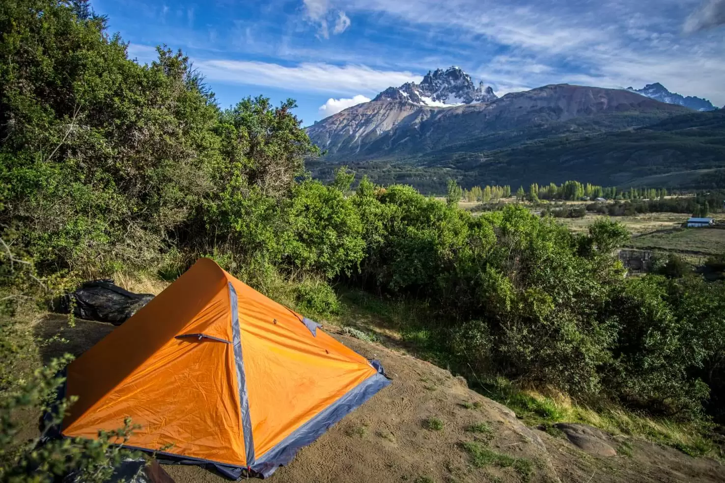
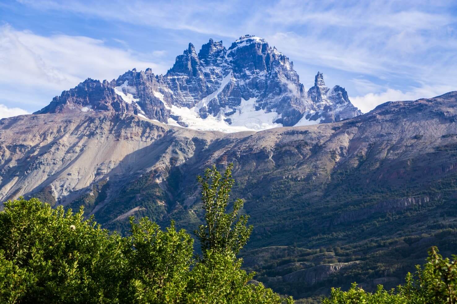
Waking up in the village Cerro Castillo with a view of the castle-shaped mountain is one of the best mornings you can have on Carretera Austral. We’ve stayed at campground Senderos Patagonia which is also a hostel.
The dorm bed costs 10,000 CLP (15 USD) and camping is 5,000 CLP per person and the view is priceless. They have a very well-equipped kitchen, big living room, hot showers and wifi.
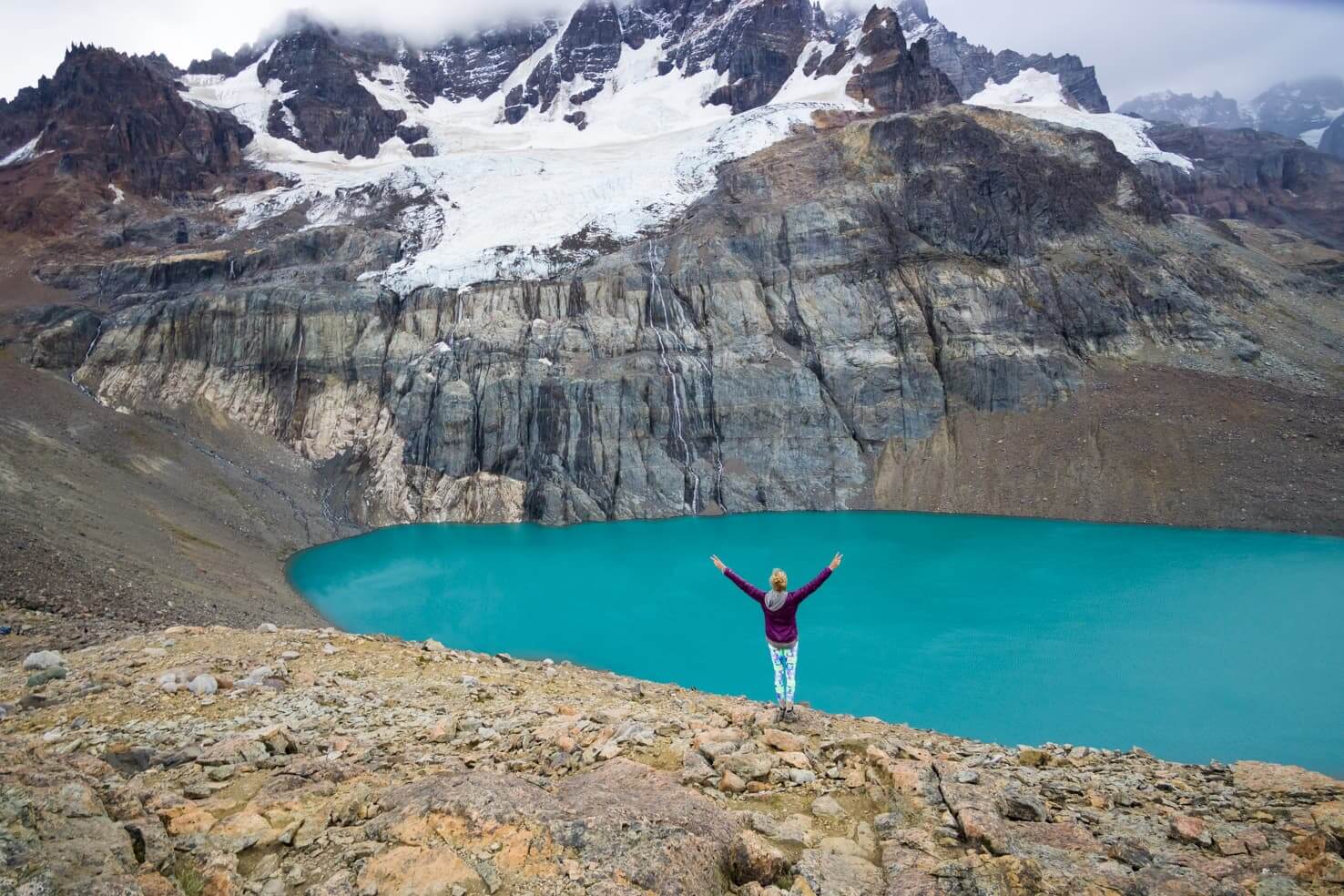
From Villa Cerro Castillo, a moderate hike will take you up to the beautiful blue lake in about 4 hours. If you enter the hiking area before 8:30 in the morning, you might get lucky and don’t pay an entrance fee of 5,000 CLP per person. The hostel staff also told us that depending on who is in charge, you can expect to pay 2,000-7,000 CLP.
Laguna Castillo hike – 18 km round trip; 1,170 m elevation gain
The hiking trail goes slightly uphill through the forest and once you go above it, it’s quite a steep trail. You also have an option of hiring a horse that can take you halfway up the trail (for 35,000 CLP) and you need to walk the rest.
For now, a 4-day trek in Reserva Nacional Cerro Castillo is the only multi-day hike on Carretera Austral. Ask at Senderos Hostel for more details about the trek. You will have a rare opportunity to spot South American deer – Huemul.
The last section of Carretera Austral’ paved road ends at the end of the village, from there it’s only dirt road. And even more beautiful places are still yet to come.
Puerto Rio Tranquilo

The most important factor for drivers is that here is the first gas station after a 200 km drive from Coyhaique and a bigger grocery store. A small village on the shore of General Carrera Lake/Lago General Carrera is a base camp for some interesting activities. Kayaking on the lake, fishing for salmon, glacier walking and ice climbing on North Patagonian Icefield are close by.
General Carrera Lake and Marble Caves
Miraculously coloured lake is the biggest Chilean lake and a great resource of Patagonian freshwater (586m deep). Rocky shores of General Carrera Lake hide caves that you won’t find anywhere else in the world.
Polished rocky caves were created by waves of melting glaciers during the last thaw after the Ice Age. You can rent a kayak and paddle there but keep in mind that the water is very cold year-round.
We chose the motorized boat tour for 10,000 CLP (15 USD) per person. The whole tour takes around 2 hours ad boats usually leave twice a day, so don’t miss this when you go through Puerto Rio Tranquilo.

Glacier trekking and ice climbing on Northern Patagonian Icefield
Northern Patagonian Icefield is the source of water for General Carrera Lake and also a great place to see how massive a piece of ice can be.
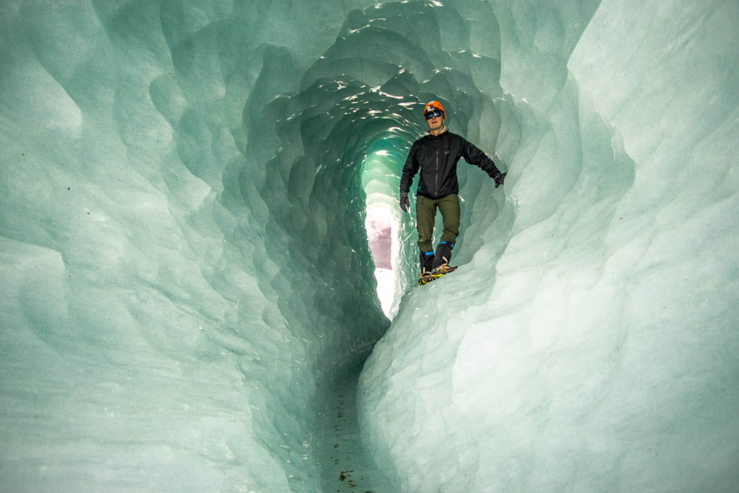
You can book an ice walking or ice climbing tour in Puerto Rio Tranquilo. We highly recommend a full-day glacier trekking tour where you can see the highest mountain of Patagonia.
We went with Ecos Patagonia agency for 50,000 CLP (74 USD) per person. The increasing popularity of glacier trekking also increased the price from 35,000 CLP the year before.
San Rafael Glacier boat tour
It starts in Puerto Rio Tranquilo where you can book the tour. They will drive you to Bahia Exploradores at the west edge of Northern Patagonian Icefield. From there you will take a boat and see how San Rafael Glacier spills in the ocean.
The full-day tour is a bit pricey for Chilean attractions but compared to prices in Argentina, it’s a steal. San Rafael Glacier is the fastest moving glacier in the world flowing at speed of 17 meters a day!
Puerto Bertrand and Rio Baker
The road from Puerto Rio Tranquilo goes along unbelievably gorgeous lakes of all shades of blue – General Carrera Lake, Negro Lake and Bertrand Lake. They will leave you speechless!
A small village on the shore of Lake Bertrand is an idyllic place for overnight stay. Get a raft tour and start your ride at pristine Lake Bertrand down the Baker River.
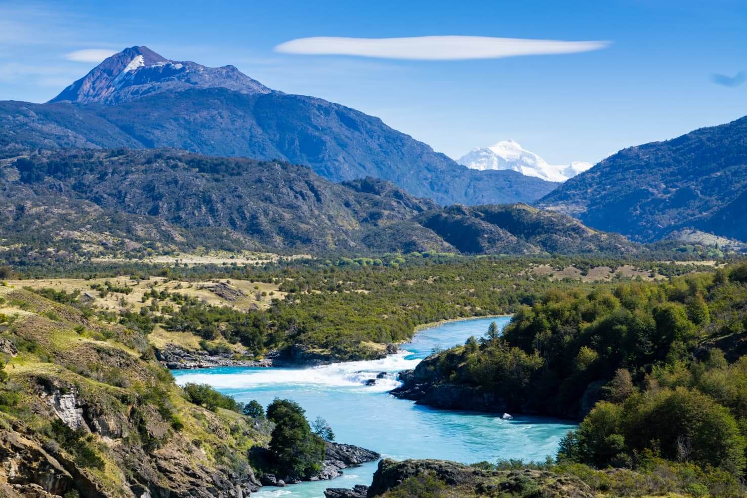
This might be the most beautiful river in the world in regards to its colour. Mainly the upper section and confluence of Baker River with River Neff and later with River Chacabuco are pure wonders. You can get a fishing rod and catch some salmon if rafting is not your thing.
Patagonia National Park
When you stop at the confluence of Baker and Chacabuco rivers, exit the Carretera Austral to take a detour and stop for a couple of nights at Valle Chacabuco, the headquarters of the new national park – Patagonia National Park.
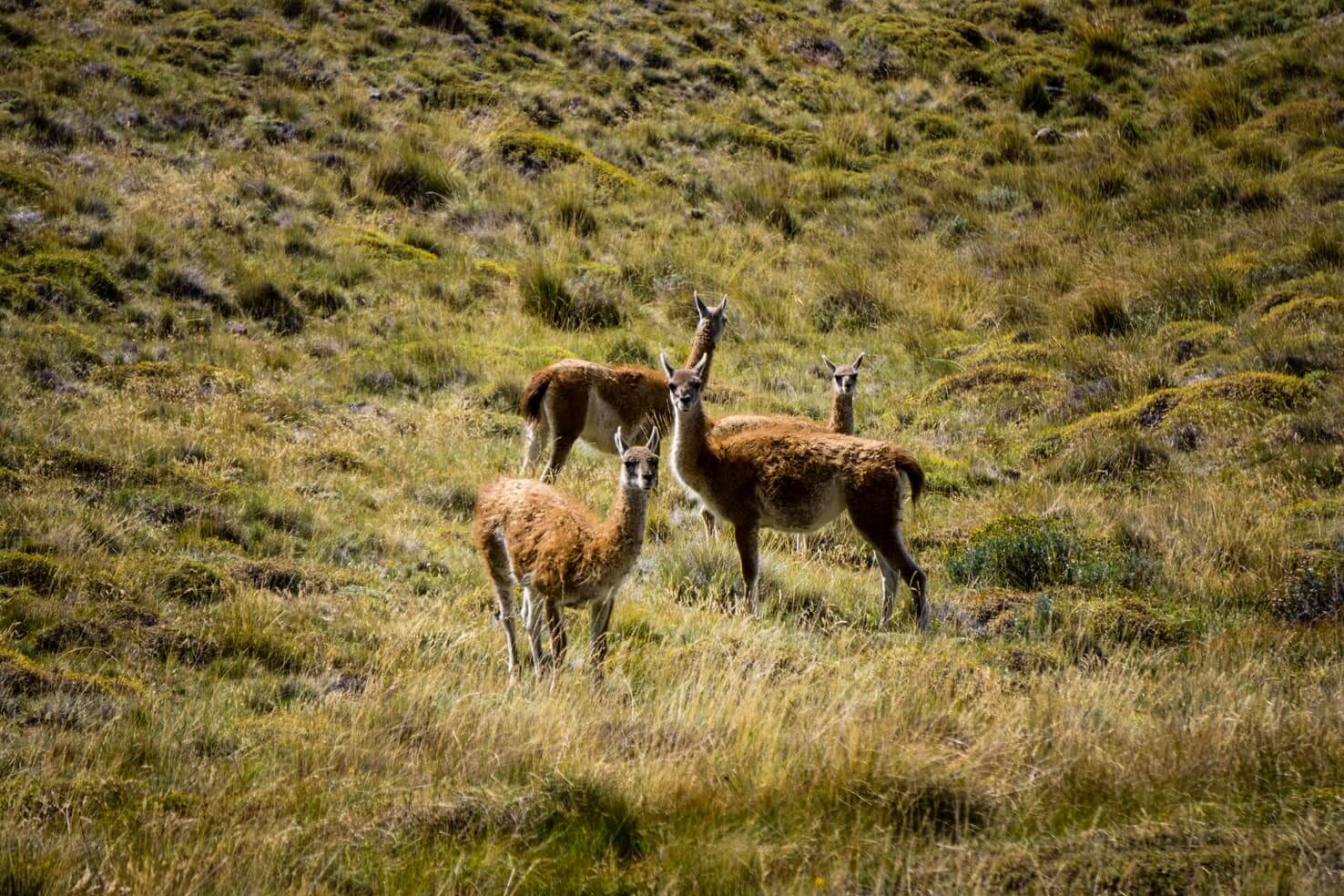
This was a residence of Doug Tompkins (co-founder of the outdoor brand The North Face) who is now resting in peace here. It is one of his successful efforts of using private money to protect nature. Great place to spot guanacos, condors, and pumas if you are lucky.
The campground in Patagonia National Park is the best camp along Carretera Austral. It has spacious bathrooms with hot showers, shelters for cooking and guanacos roam through all day long.
There’s a La Vega & Lagunas Altas hiking trail, around 22 km, which passes 8 lakes. We were lucky to have a clear day, saw plenty of glaciers in the distance and also some condors and guanacos.

Cochrane
It’s the biggest town in the southern part of the Carretera Austral and the last place where you can withdraw cash and buy a variety of supplies (food and camping). From here you can join hiking trip to Lake Cochrane, fishing trips or to see San Lorenzo Glacier. You can also enquire in town for a glacier walking tour on San Lorenzo Glacier.
Caleta Tortel
This small village was the last place connected to the Carretera Austral and also your last option to exit by car to the rest of southern Chile by ferry. The boat departs only once a week and takes 41 hours to get to Puerto Natales (if you want to visit Torres del Paine National Park).
Before you leave, there’re still many great landscapes to admire such as Glacier Jorge Montt, another one that flows into the ocean; stilt houses in Tortel or Villa O’Higgins. Accommodation in Tortel is fairly expensive.
Villa O’Higgins
The southernmost village on the Carretera Austral used to be more connected with Argentina than Chile before the road was finished. There is even a big tarmac airstrip in the middle of the village.
Driving from the north, you will get to the fork from which you can either go to Tortel or to Villa O’Higgins. You need to take a ferry to Villa O’Higgins and then go the same way back (the ferry is free). The Carretera Austral finishes in Villa O’Higgins and only pedestrians and cyclists can continue by another ferry to Argentina.
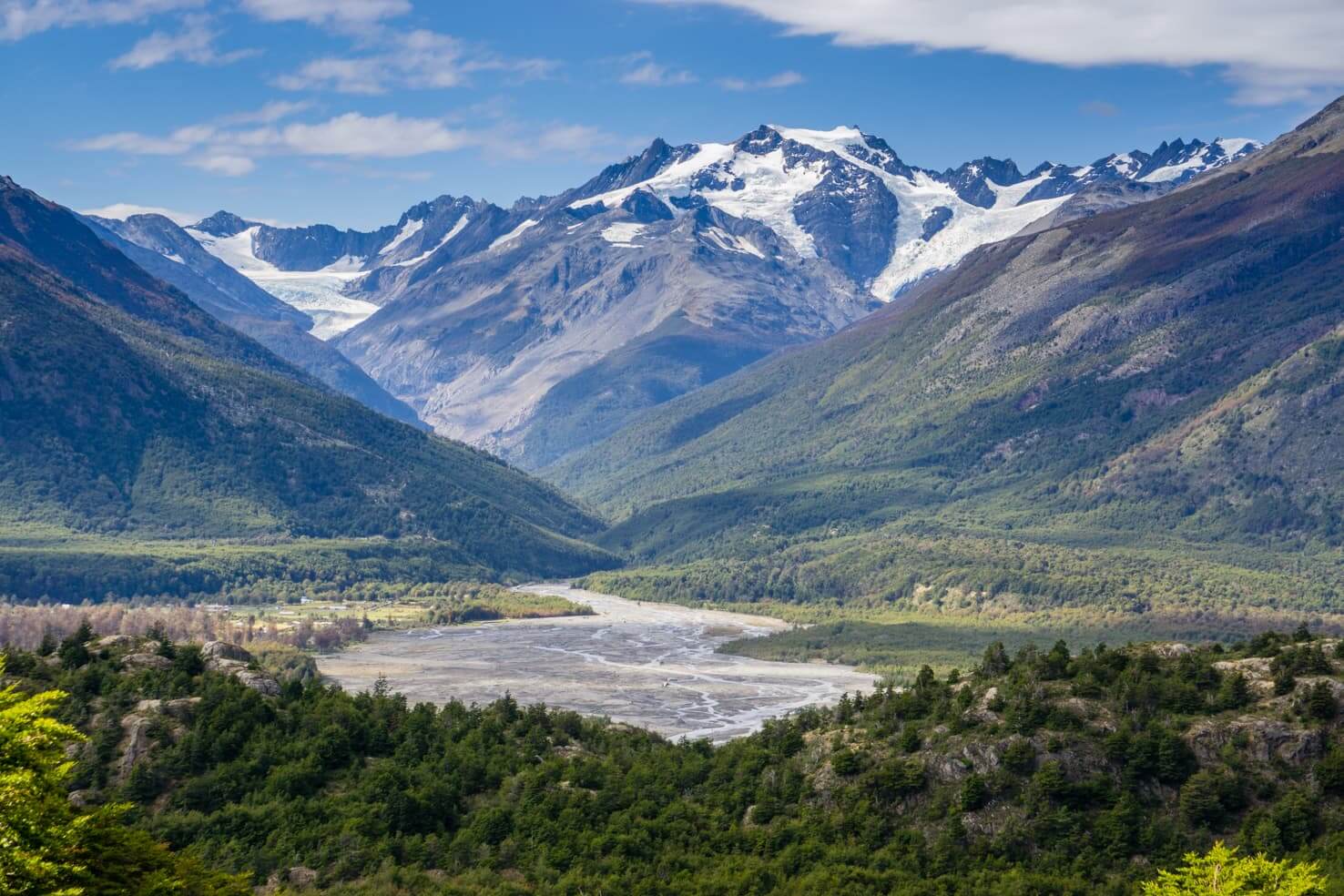
Visit Villa O’Higgins if you want to hike in the mountains with glacier views, visit Glacier O’Higgins or cross the border to Argentina through Candelario Mancilla by foot or bike. There are a few grocery stores in the village but you will mostly get staples. Fresh fruit and veggies are delivered only once or twice a week.
For more info about Villa O’Higgins or Chile – Argentina border crossing, read our post:
Reaching the end of the road with the sign “The end of Carretera Austral” gives you satisfaction and pride for accomplishing your journey in such a remote place as Villa O’Higgins is.
Bernardo O’Higgins National Park and Southern Patagonian Icefield
Icefield is the last natural wonder that is accessible via Carretera Austral. There is no road going further because of the natural barrier of the Southern Patagonian Icefield, the second biggest icefield in the world.
You can admire glaciers that flow in the ocean, archipelagos, and fjords that were left behind the melted glaciers. Skilled mountaineers with permission can walk on the icefield.
The Chilean government is planning to connect the whole country by land on the western side of Southern Patagonian Icefield. This huge project will take years to finish.

READ FOR INSPIRATION
30 Best outdoor movies and adventure documentaries
Tips for planning
How much time do you need?
If you’re planning to quickly drive through, Carretera Austral is not the best option as it is not a highway. This place is ideal for slow travellers enjoying solitude who wants to escape their regular daily hustle.
Due to the current road conditions (see below), it takes 3-4 days just to drive the whole Carretera Austral from Puerto Montt to Villa O’Higgins with minimal stops. And then you need to add some time depending on where you’re going to drop off your car.
With some hiking and side trips, we recommend planning at least 10 days or 2 weeks, ideally a month. As you could see by now, the landscapes are beautiful and activities are endless.
Road conditions
The Carretera Austral (Ruta 7) has paved and unpaved (gravel surface) sections, with the northern half to be in better shape. More than half of the roads’ length is not paved so drive accordingly, mainly on tight turns or during rain, you may experience skidding. If you don’t have experience with gravel roads, keep distance between cars and speed limits shouldn’t be your target.
Not the entire road has mobile phone coverage; therefore you might need to change a flat tire by yourself. There is some traffic on the road but during certain times you can see about one car in an hour.
As the works on paving and widening the road continue, some sections of the Carretera Austral are constantly under construction. Be prepared for some delays. During our trip in 2017, we had to wait for a few hours to pass in only two construction sites north of Coyhaique. Since the road is more than 1,000 km long, it’s fairly reasonable to expect some roadwork delays.
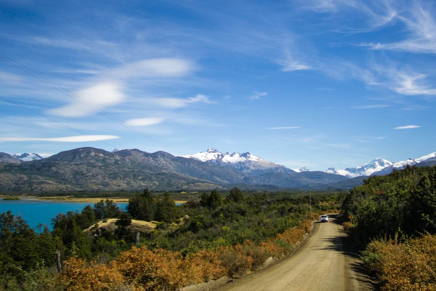
Don’t forget to pick up hitchhikers who are lined up along the road during the summer months. Buses are very infrequent on the Carretera Austral so many Chileans and young travellers from around the world try their luck and sometimes rely on the kindness of drivers.
Money
The area around the Carretera Austral is still developing, therefore, ATMs are only in the biggest towns (Puerto Montt, Puerto Aysen, Coyhaique, Futaleufu, and Cochrane).
Most places take cash-only, but you will find places such as grocery stores in Puerto Rio Tranquilo or most gas stations to accept cards. Coyhaique is a proper city where you can use cards in most places.
It’s important to note that ATMs in Chile have a limit for a withdrawal of around 130,000 CLP (around 200 USD) and they only accept Chilean pesos.
Car rentals for the Carretera Austral
Car rental is best arranged from Puerto Montt where is the biggest selection. There are a few car rentals in Coyhaique as well. Options also include campervans which give you even more freedom without the need to book accommodation.
There is no drop-off point for car rentals in Villa O’Higgins so you would either need to return to Puerto Montt or continue by ferry to Puerto Natales or exit to Argentina.
TIP
Download an app Maps.me and use the maps offline. They are more detailed than google maps and you can easily find camping spots etc.

Fuel
Gas stations are available in every bigger village or big crossroads (such as La Junta). On average, you will find a gas station every 100km. Bigger distances between gas stations are on the southern part. From Coyhaique, the closest one is in Puerto Rio Tranquilo, the next one is in Cochrane.
Don’t forget to fill up in Cochrane heading south as the last one is in Villa O’Higgins, which is more than 300 km away. Better to stay safe than sorry and keep an eye on your range which shouldn’t drop below 100 km.
Accommodation
Sleeping options along the Carretera Austral vary from free in the tent outside of town to luxurious hotels with prices above $200 a night. During high season you might have a hard time finding a hotel; we suggest booking in advance if you require a certain level of comfort. If that’s not an issue for you and you have a tent, there will be always a place to stay.
Most people we’ve met on the Carretera Austral driving rental cars had a tent and were staying at campgrounds. Camping is the easiest and cheapest option from 7 USD/night.
Cyclists on the Carretera Austral are sometimes staying in the middle of nowhere, setting up their tents anywhere along the road. Many of the campgrounds we stayed at were backyards of family houses with open or closed kitchen areas and bathrooms with hot showers.
Food
Restaurants are in every town, some more basic than others. Almost all of them offer a menu of the day, a budget-friendly option for lunch. Most commonly you will find local river fish or beef. Vegetarian options are available but expect basic as most places don’t have daily fresh food delivery.
As far as shopping goes, small grocery shops are also in every town. Options are limited but you will find enough food for camping cooking, fruits, and vegetables. We also found Chile has the most delicious buns in South America. The only big supermarket where you can find everything is in Coyhaique.
Budget
This always depends on your preferences when it comes to food, accommodation, and activities. People travelling on a budget can fit within 50 USD a day (excluding car rental).
We traveled along Carretera Austral for 15 days from Puerto Montt to Villa O’Higgins and spent 35 USD a day per person. We did some tours, slept in campgrounds in our tent and cooked our own food.
Our best tip for saving money is to sleep in campgrounds and not in hotels. You will have an amazing view every morning and be connected to nature, which is the main reason people travel on the Carretera Austral.
Carretera Austral itinerary for 2 weeks
This is a suggested itinerary that basically follows our steps (except Futaleufú – we arrived too late in the season for rafting).
I would say 2 weeks is a minimum and three would be ideal. As you will see, Carretera Austral is not for fast travellers but rather people who want to appreciate everything that Chilean Patagonia has to offer and take their time. It will surprise you behind every corner, trust me.

Day 1: Puerto Montt to Pumalín
Puerto Montt and Coyhaique are the only big cities on Carretera Austral, make sure to stock up on everything you might need, especially food and camping supplies.
When you leave Puerto Montt in the morning, it will take around 7,5 hours to get to Pumalín National Park (Caleta Gonzalo). You will drive through beautiful landscapes and take ferries along Chilean fjords. Make sure to book the ferry in advance, more info is above in the ‘Entering Carretera Austral by car’ section.
Pumalín has a quiet campground and plenty of short hiking trails through a diverse rainforest. Your tired legs from the drive will thank you for stretching them out. Check their website for more info.

Day 2 & 3: Futaleufú or Chaiten
Driving from Pumalín/Caleta Gonzalo to Futaleufú takes around 4 hours. If you’re visiting during the season, I’d suggest going rafting or hiking there, we were recommended Futaleufú by many people we’ve met.
If you don’t want to drive off the Carretera Austral, stay another day in Pumalín. It’s a huge national park with plenty to see; then continue to Chaiten and go for a hike to the volcano.
Day 4: Queulat National Park
This is a must-see on Carretera Austral. The hanging glacier with a waterfall is a highlight of the area. The park entrance fee is 5,000 CLP per person and another 5,000 CLP for camping.
You can either take a 9,7 km hike to the viewpoint, see the glacier from the lake’s shore or go closer by boat for 5,000 CLP per person.
Day 5: Coyhaique
The drive from Queulat National Park to Coyhaique takes around 6 hours.
Coyhaique is a fairly big city (around 55,000 population) with all the amenities you might need. You can pick up some maps from the Visitor Center, stroll through their weekly markets on the main square or go mountain biking.
We stocked up on a lot of food in the Unimarc supermarket here. Countless cars carrying bikes were passing by, we were sad not to stay here longer and ride on the surrounding hills.
There are plenty of options where you can stay, from camping, hostels, Airbnb or hotels. Book your accommodation here.
If you don’t want to stay in the city, continue another 1,5 hours to Villa Cerro Castillo.
Day 6: Cerro Castillo
Cerro Castillo National Reserve and its turquoise lagoon is another highlight of Carretera Austral.
Once you arrive, stay at Senderos Patagonia. We chose the highest spot for our tent and had the best morning view – Cerro Castillo right in front of us.
The full-day hike to Laguna Castillo is a moderate 18 km round trip and totally worth it. The turquoise lake on top with snow-peaked mountains in the background is hard to beat.
Day 7: Puerto Rio Tranquilo
From Villa Cerro Castillo, enjoy a 3-hour drive with beautiful lake views. This little village is hiding many natural gems.
Once you arrive to Puerto Rio Tranquilo, walk along the lake’s shore where you can find tourist agencies. They will take you to see Marble Caves. It’s an affordable 2-hour tour you don’t want to miss.
You can choose from plenty of camping spots or rooms in small Hospedajes. Don’t miss their bakery in the morning and stock up on delicious buns. I said it before – Chilean pastry is the best in South America.
Day 8: Exploradores Glacier
Book this adventure on day 7 and prepare yourself for one of the best adventures you can have on Carretera Austral.
We highly recommend the agency Ecos Patagonia. Their guide even spoke English so we could take a break from Spanish and he was the most chill guide we’ve ever had.
They will drive you close to the glacier and after a short hike; you will put your crampons and helmet on and go trekking on a glacier. How cool is that!
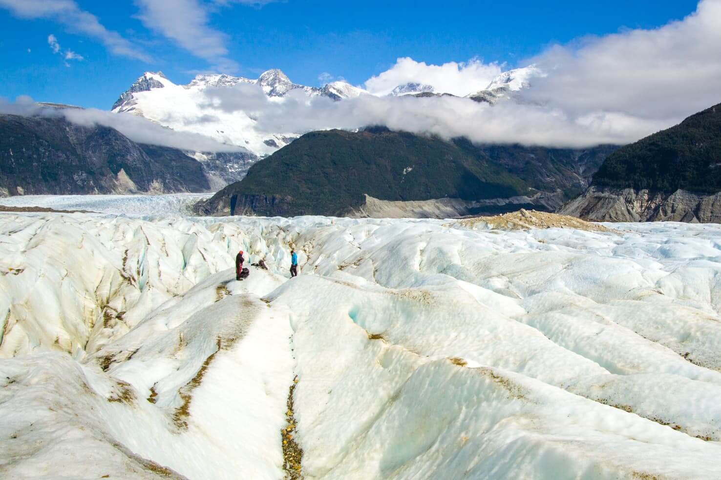
Oh, and if that’s not enough for you, you will also see San Valentin (4058m), the highest mountain in Patagonia right in front of you.
This is a rare opportunity for glacier trekking on budget. Everywhere else is quite expensive from our experience.
Day 9: Puerto Rio Tranquilo to Puerto Bertrand
This drive will take you some time. It’s only about 70 km but goes along 3 gorgeous lakes and views are just out of this world. You will want to stop often, believe me.
Puerto Bertrand is a small and quiet village and Bertrand Lake makes a perfect spot for a day of picnic and kayaking.
Day 10 & 11: Patagonia National Park
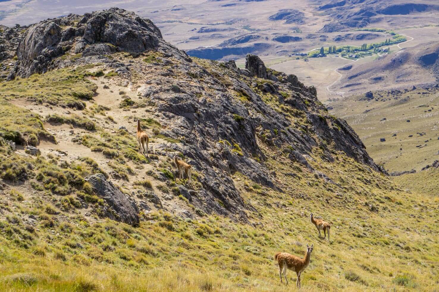
Only an hour from Puerto Bertrand, you will arrive at Valle Chacabuco. As of December 2018, this is now a new national park. An effort of Tompkins Conservation Chile together with the Chilean government to protect and preserve a beautiful piece of land.
I recommend you go hiking the La Vega & Lagunas Altas trail, around 22 km. Or you can hike only a part of it to the first lake, it’s the bluest lagoon of the 8.
We’ve stayed at the campground and had llamas/guanacos visiting us all the time. There is also a beautiful lodge with a restaurant, a new museum and a visitor’s center. Check out their website for more info.
You can exit to Argentina here, or a bit more south from Cochrane (the last place from which you can exit to Argentina).
Day 12: Villa O’Higgins or Tortel
The drive from Patagonia National Park to Villa O’Higgins takes around 8 hours, including a ferry.
Some travellers, especially those driving a car, usually finish their trip on Carretera Austral in Caleta Tortel (about a 4-hour drive). The main reason is that they continue to Puerto Natales (to visit Torres del Paine National Park) on a ferry.
Even if it’s a long drive, I recommend you to visit Villa O’Higgins. But also keep in mind the road ends in Villa O’Higgins so you would have to go back. Only cyclists and travellers on foot can continue to Argentina on a small ferry.
The free ferry towards Villa O’Higgins from Puerto Yungay to Rio Bravo departs at 10 am, 12 pm, 3 pm and 6 pm from December to March and at 10 am, 12 pm and 5 pm in November. Check ferry times before you arrive.
Leaving the ferry, the road to Villa O’Higgins is just spectacular. There are glaciers everywhere around you!

Day 13 & 14: Villa O’Higgins
This is the end of Carretera Austral.
The remote little village has a lot of activities to offer. We enjoyed hiking to the viewpoint of Huemul and Mosco glaciers. There are several others hiking and trekking routes, or you can visit a glacier by boat.
All the info about Villa O’Higgins (and how to cross to Argentina for travellers on foot or cyclists) is in our post:
*In the spirit of full disclosure: Some links in this post are affiliate links, which means that if you purchase through them, we receive a small commission at no extra cost to you. We appreciate your support!
Our hitchhiking story
One of our goals on our trip around the world was to visit little-known places along the scenic road Carretera Austral. Renting a car or taking advantage of the rare buses seemed too conventional and simple, so we chose to hitchhike.
Beauty of hitchhiking
Not many travellers visiting Patagonia or Chile make it to Carretera Austral, except for the young Chileans. For them, hitchhiking along Carretera Austral is common over summer holidays. And we were happy to join them.
We have never hitchhiked before, it was new and exciting and we were looking forward to meeting new people.
We started in a small town Chaitén, which was evacuated in 2008 when a volcano erupted after 9,000 years and was later flooded by the river. Many houses are still buried under ashes, people moved elsewhere.
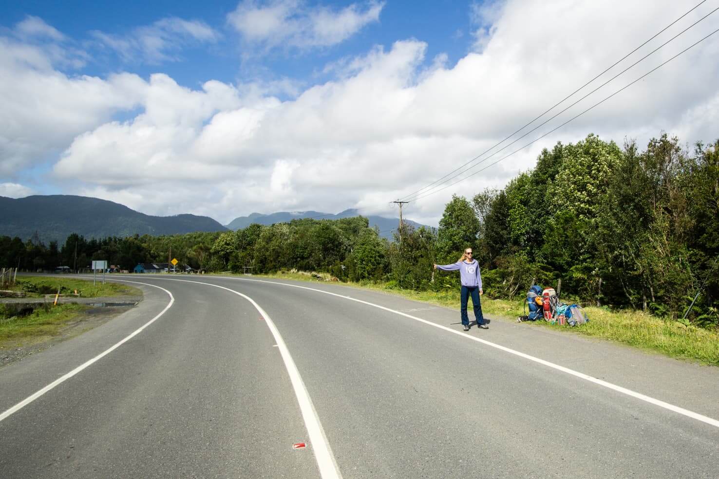
In the morning, with all our backpacks, we set out on the road out of the city. With our thumbs up in front of every passing car with a big smile, we waited.
We greeted a cyclist who wished us luck as he was passing by. It wasn’t the last time we met.

In less than 2 hours one car was slowing down. Our confidence rose when a young couple, Australian & Chilean, stopped and gave us a ride. As soon as one car stops, another one will stop later as well, that’s given, right?
Not knowing if we would get another ride or just would have to camp by the river was thrilling and calming at the same time. We weren’t in rush. We had the necessary supplies and made a piece with whatever happened.
After a few hours at our next stop, a car full of workers paving the Carretera Austral stopped. The driver indicated that he is full inside but there was enough space in the pickup bed. Of course, we jumped in. It was such a fun ride on the bumpy road; we were laughing our hearts out, mouths full of dust.

The beauty of hitchhiking is that besides conversations with interesting people, we never knew where we would end up on any given day. It always depended on the drivers who gave us a ride. We set up our tent at the end of each day, and we have always been surrounded by the mountains. What else could we ask for?
The first day was successful; we managed to hitch two rides. Despite the fact that autumn began in March and it was cold in the mountains we did not freeze in the tent. Morning frost on the tent was surprising but looked too exciting for us to worry about it.
The long ride with Chileans
The next day, we saw other hitchhikers on the road. Lucky for us, we were first along the road. According to the hitchhiking etiquette we read before our trip started – whoever is the first on the road has the right to stand first on the exit from the city so the passing cars see you first; others have to scatter along the road a bit further.
Villa Santa Lucia is surrounded by high mountains and it took the sun a long time to come out and warm us up. Shortly after, a Chilean couple travelling in their RV saved us from the cold and gave us a ride. The most comfortable ride we had. Mrs. Flaviola offered us a Patagonian pie and we talked about Slovakia, Chile and the rest of the world.

We joined forces (and our vocabularies) with Michal and tried our best to speak in Spanish. We understand much more than we can speak and Chile has a specific accent very different from most of the countries of South America. It looked like they understood us, such a relief.
Some of the small stores, or gas stations mostly, along Carretera Austral were selling delicious donuts. They tasted exactly like the donuts we used to eat as kids in Slovakia. Now we were eating “Slovak” donuts made in Chile and we were eating them with Chileans in Patagonia.
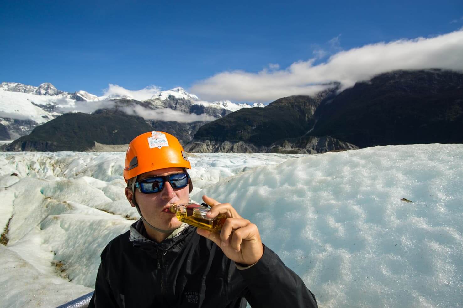
After an eight-hour ride, we were dropped off at Queulat National Park. It was love at first sight. We spent two days admiring the waterfall coming out of the glacier, drank Pisco with young and friendly Chileans while the loud cracking of the glacier kept us up at night.
Pisco is a brandy made from fermented grape juice brought to the South of America by the Spaniards. Peru and Chile are still arguing about whose drink it is. Since we were drinking with Chileans, we respected their point of view and leaned to Chile.
Patagonia has everything
We were on our hitchhiking journey only for a few days and already in love with Patagonia.
I was writing our journal when an older French couple stopped gave us a ride. Michal was getting so good at hitchhiking I barely had enough time to write anything. The funniest thing was, we shared a bus with this couple on our way from Santiago to Puerto Montt, the beginning of Patagonia. And now we were sharing stories.
Little picnic stops were my favourite; nonstop surrounded by mountains, no traffic, just the quietness of nature.
We parted ways in Coyhaique, the largest city along Carretera Austral with about 50,000 inhabitants. While taking a break in the park, we met a Czech fisherman who comes here every winter when it’s too cold in the Czechia. It’s hilarious how all we ever heard around us was Spanish and then suddenly a very familiar language we understand very well.
Our next steps lead to Villa Cerro Castillo with a Chilean guy named Alfredo. It was dark when we arrived so we followed the smoke from a big cabin hoping it was a hostel.
Lucky us, we had the highest spot in the campground overlooking the famous Cerro Castillo and couldn’t wait to visit the turquoise lagoon formed by a glacier the next day. It was an unforgettable hike with faraway views of nature, ending with a picnic overlooking a huge lake.
We slept under the stars and once again we were surrounded by mountains and glaciers. Who would not love Patagonia?
As we were getting ready to move on, stood on the road and hitchhiked, you never would have guessed who stopped. The French couple who took us to Coyhaique, what a surprise! And now they were taking us further down the road.
We already thought this trip couldn’t get any better. And then it did. A quiet little town Puerto Rio Tranquilo is hiding colourful and unique caves on a clear turquoise lake easily accessible by boat. Oh, and the glacier trekking experience didn’t let me sleep at night. Like a little child who couldn’t sleep at night cause the day was just too damn exciting.
We saw the highest mountain of Patagonia San Valentin (4,058m) right in front of us while walking the giant ice waves. Just another normal day in Patagonia.

Our next ride was with yet another Chilean who was nice to stop every so often. It’s just impossible not to take pictures all day when you’re passing lakes with every shade of blue imaginable.
The huge condors were flying high above us as we stood on the crossroad hoping someone would give us a ride to Patagonia Park. Our two days in this quiet oasis were filled with hiking, more lagoons and hundreds of guanacos roaming the campground.
Patagonia, thank you
A two-week journey on Carretera Austral ended in a small village, Villa O’Higgins. Here, the official Carretera Austral, with a length of 1,240 km, ends and only travellers on foot or cyclists can continue.

On the other side of the lake is Argentina where the most difficult 23 km walk awaited us to cross the Chile-Argentinean border. We continued through Argentina and all the way to the famous Torres del Paine National Park by hitchhiking. A Dutch couple with the cutest blond son gave us a ride through Argentina to Chile.
We travelled nearly 2,000 km through Chilean and Argentinean Patagonia, met many friendly Chilean and foreign travellers who all loved Slovakian souvenirs that we were giving away. We thanked everyone for their kindness. Together with our memories from our hitchhiking journey, you will be remembered forever.
Read more about Chile
Exploring remote Puerto Williams, Chile – the southernmost city in the world
Trekking Torres del Paine W Trek Patagonia, Chile
How (not) to get beaver fever in Torres del Paine National Park
Do you like road trips? Let us know in the comment which one you liked the most.
Spread the word! PIN this to your Pinterest board.











Hi,
I can’t figure out how to get the car from Villa O’higgins to Puerto Natales. Did you do this option or did you return it to Puerto Montt?
Also, how much did your car rental cost?
Thanks
Hi Jolien, Villa O’higgins is a dead end for cars. You would need to drive to Tortel and then take a ferry to Puerto Natales. We hitchhiked the Carretera Austral so we took the ferry from Villa O’higgins, which is not possible for cars.
Hey Maya,
Great guide, thank you! Do you think it’s possible to sleep in the bak of a car in the campgrounds along the way or do we need a tent? We were going to rent a Rav4 or Forester and that should have plenty of room.
Sergei
Hi Sergei, every place we’ve visited had a campground where you can park and sleep in your car. A lot of people were doing it. Have a great trip!
Hi I want to book a ferry but it’s asking me for my car details which I don’t have yet. What can I do in this situation?
Great blog post btw! Very informative 🙂
We haven’t had this situation so I would recommend to contact the company selling ferry tickets directly.
Really great post, thanks so much for making it. Ive got 1 month to do Route 7 and I cannot wait…leaving soon! I will also be wild camping and hitchhiking for the first time, so little bit daunting, but know I am going to love it. I had a couple of questions, if you could help…
1. Was hitching a ride ‘easy’ or did you find often that you had to find somewhere in the wild to camp and hope for a car the next day? If so, would it be hard to find a nice spot, make a fire, find water source?
2. At the final stop in O’Higgins, for those wishing to continue to Torres del Paine, is going through Argentina the best way, or just the most exciting? Is their a quicker way (we may be pushed for time to reach our booking).
Thanks.
Thanks Henrick.
I would say that hitching a ride was quite easy, we usually waited under an hour for a ride. We were dropped off once right by the river and waited few hours for a car but if it didn’t come, I wouldn’t mind camping by the river, there were some campers already. Another time we were dropped off in the middle of nowhere but next to someone’s house so if we had to stay, I’m sure they will point us to a place where we could camp.
There are so many rivers and creeks that we never had a problem with water. We were usually dropped off in a village and stayed in a campground but lots of people were wild camping as well.
For continuing to Torres del Paine, there are a few options. The only way through Chile would be by boat from Tortel to Puerto Natales, otherwise it’s through Argentina. The longer way would be going by car through Valle Chacabuco border crossing but that means going back from Villa O’Higgins for more than 200km.
If you’re going to hitchhike, I think the easiest way and also most exciting is the border crossing from Villa O’Higgins to El Chalten. El Chalten is worth a stop to go hiking and see Fitz Roy up close. All the info about the border crossing is here: https://travelwiththesmile.com/blog/villa-ohiggins-chile-argentina-border-crossing/
You’re going to have a great time, one month is a great time frame to see all the natural wonders that Carretera Austral has to offer. Have fun!
Have fun!
What an awesome post!
I’m planning on hitchiking Carretera Austral (from Villa O’Higgins to Puerto Montt) throughout April and my original plan was to take a ferry from Chaiten to Puerto Montt. Apparently they don’t run in April, so now I’m wondering if the ferry to cross from El Chalten to Villa O’Higgins is running then. Can you help me with this or point me in the direction of an email address?
Thanks!
Hi Dulcie, we have a post about Villa O’Higgins & border crossing with lots of info: https://travelwiththesmile.com/blog/villa-ohiggins-chile-argentina-border-crossing/ or you can email directly one of the companies who offer boat transfers – [email protected]
This is excellent, thank you!
I was hoping you might be able to offer some help.
We’re going to Patagonia in January 2020.
Our Antarctica cruise is finishing in Ushuaia on Jan 12.
We have 12 days before we need to fly home (via Santiago). The main places we’d like to go are Bariloche and parts of the Carretera Austral (by self drive). We’re mainly interested in the more southern parts of the Carretera Austral.
I’m having so much trouble working out an itinerary for this given we only have 12 days.
Do we fly from Ushuaia to El Calafate, pick up a car here and then drive across the border, travel up the Carretera Austral, then cross back the border to get to Bariloche? I feel like this is quite ambitious for 12 days.
Or do we travel from Ushuaia to Balmaceda (a long bus ride then a flight via Peurto Montt), hire the car there, do a round trip in the southern area of Carretera Austral, drop the car back to Balmaceda, then travel to Bariloche (a flight to Peurto Montt then multiple bus trips to Bariloche)?
There doesn’t seem any easy way to do it, any help would be appreciated!
Hi Emily, I think your proposed itineraries would involve way too much driving and you probably want to spend it outdoors.
Given that you have 12 days, my suggestion would be to fly from Ushuaia or Punta Arenas to Coyhaique a rent a car there. That is middle of Carretera Austral and you can go south all the way to Tortel or Villa O’Higgins and then drive back to Coyhaique.
From Coyahaique, you can fly to Puerto Montt and then go to Bariloche. Honestly, I would spend the whole 12 days on Carretera Austral. There is so much to see and do, even beyond our guide. But if you want to visit Bariloche, I would do it this way.
Hope this helps.
Hi Maya, thanks for your reply. Yes I had already realised we would be driving way too much, and I’ve already changed the plans to do exactly what you had suggested! So thank you, it has reinforced that we’ve done the right thing!
Hi Maya,
How much are the car rentals around Balmaceda or Coyhaique? I am not sure how to budget. Also, if am going around November, what are the road conditions like in Balmaceda to Coyhaique?
Thank you,
I don’t know about car rental prices, you would need to google that but the road will be fine for sure – that section is paved and November is spring already.
Thank you so much for sharing your journey. My son is graduating from high school and we have a little less than two week window March 28 – April 10. We were planning on flying into Puerto Montt and renting a camper van. But, I am unclear how to get back in time. Fly out of Coyhaique?
Hi Amory, you can fly out of Coyhaique or Puerto Montt. Check with your campervan rental how much they charge for a different drop-off point. It might be more cost effective to return the camper to Puerto Montt and fly out of there. Wish you a great trip!
Do we have to provide any types of papers to the military since the road of the Carretera Austral (Southern Highway) route is built for them? I cannot wait to take the boat trip and explore the rocky caves.
Even though the road was also built for military purposes in the past, it’s not a guarded military road. It’s a public road accessible to anyone.
Hey Maya,
Thanks for such an informative post. The Carretera Austral pics that are in your “50 insane Chile’s pics”, may I know which month(s) they were taken? They are wonderful and the weather seems cooperated so well.
I am planning on driving the road on the first two weeks of April next year, hopefully the weather is on my side during the entire trip.
Hi Ed, we visited Carretera Austral the last 2 weeks of March, so I imagine your timeline should still work for good weather. Wishing you a great trip!
Hey Maya,
Thanks so much, this is very helpful, I am hiring a car in Puerto montt in Nov and wanting to do this route. we are not able to drive the car to Argentina only chile, meaning we will have to get ferries. Do you need to prebook these or is it fine to just show up on the day.
Thanks 🙂
Hi Lily, I would recommend booking in advance since you’re visiting in the beginning of the high season but it’s always good to check with the ferry companies as well.
Hi Maya,
This is the most helpful post I’ve found so far about the Carratera Austral – thank you!
A few questions, if that’s okay?
I’m hoping to do this trip from Villa O’Higgins to Puerto Montt, did you see many travellers going in this direction?
I’ll be trying to get to Villa O’Higgins from El Chalten, but I’ll be trekking solo. Is this something you’d recommend, as the crossing seems quite tough!
Also, the idea of giving little souvenirs from your home country to generous drivers is a great idea! What did you bring?
Thanks!
I’m happy to hear you find it helpful!
For your questions – There are travelers in both directions, so it really doesn’t matter which way you go.
We also saw many solo hikers between El Chalten and Villa O’Higgins, it’s actually very easy and safe, the only part that’s hard is dragging all your backpacks.
I remember giving out stickers, magnets and keychains. They all seem delighted to receive a small gift for their generosity.
Have a great time! Carretera Austral is the best!!
Hi Maya,
Thanks for your extremely informative guide! It is of great help for us in the preparation of our road trip this November.
We would also like to do the ice trek on the Northern Patagonian Ice Field and want to book it in advance however I can’t find Ecos Patagonia agency online. Did you book this tour when you were there or beforehand? Curious to hear how you went about it.
Thanks in advance!
“Dubai truly is a city of wonders! I loved how this article showcased the perfect blend of modern luxury and rich cultural heritage. From the iconic Burj Khalifa to the serene desert safaris, there’s something for every kind of traveler. The tips on shopping, dining, and exploring hidden gems like the Al Fahidi Historical Neighborhood were great—I’ve always been fascinated by Dubai’s mix of old and new. Can’t wait to experience the unique charm of this city myself! Thanks for sharing such a detailed guide!”